INDIANA STATEWIDE IMAGERY PROGRAM
Project Details
CLIENT
State of Indiana, Office of Information Technology
LOCATION
Indiana
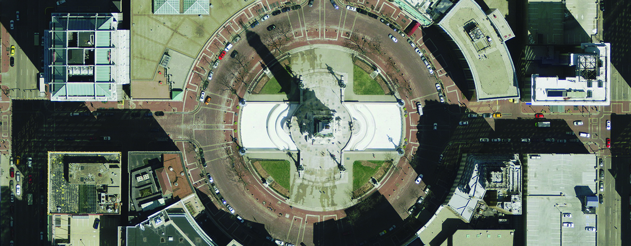
Woolpert is providing the state of Indiana with accurate, high-resolution imagery as part of the IndianaMap program, a resource for geographic information technology users.
Using our fleet of aircraft and sensors, Woolpert is providing this statewide initiative with digital aerial imagery, lidar, photogrammetric, GIS/remote sensing, QA/QC, surveying and program development and outreach services. A fleet of aircraft outfitted with Leica ADS digital sensors is capturing 1″= 200′ scale four-band (red, green, blue and infrared) digital orthoimagery at a 12-inch pixel resolution throughout the state.
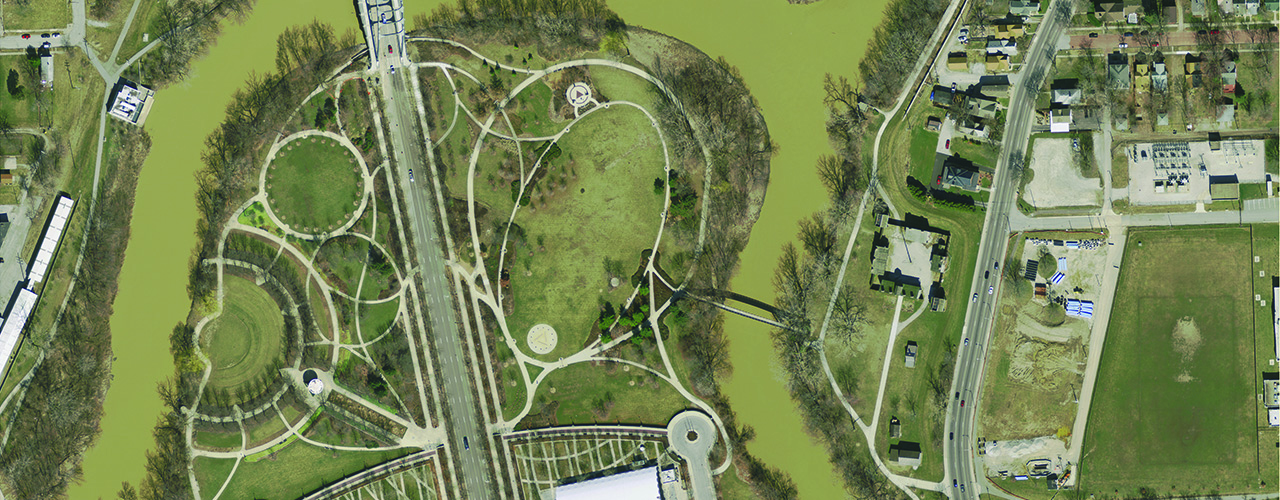
The four-band orthoimagery supports the future applications of automated feature extraction, building footprints, planimetric mapping, contours, land cover/use, impervious surface mapping, 3D modeling, hydraulic and hydrology modeling, and wetlands delineation.
To facilitate faster delivery of the data to end users, Woolpert uploaded each county’s orthoimagery tiles to the cloud and provided a secure login and password enabling a county to retrieve their data the same day final processing is completed. The state is also notified when each county’s collection is complete so data can be downloaded for use by all state agencies.
Acquisition of IndianaMap imagery will continue through 2019.