Lake Erie Watershed Base Mapping
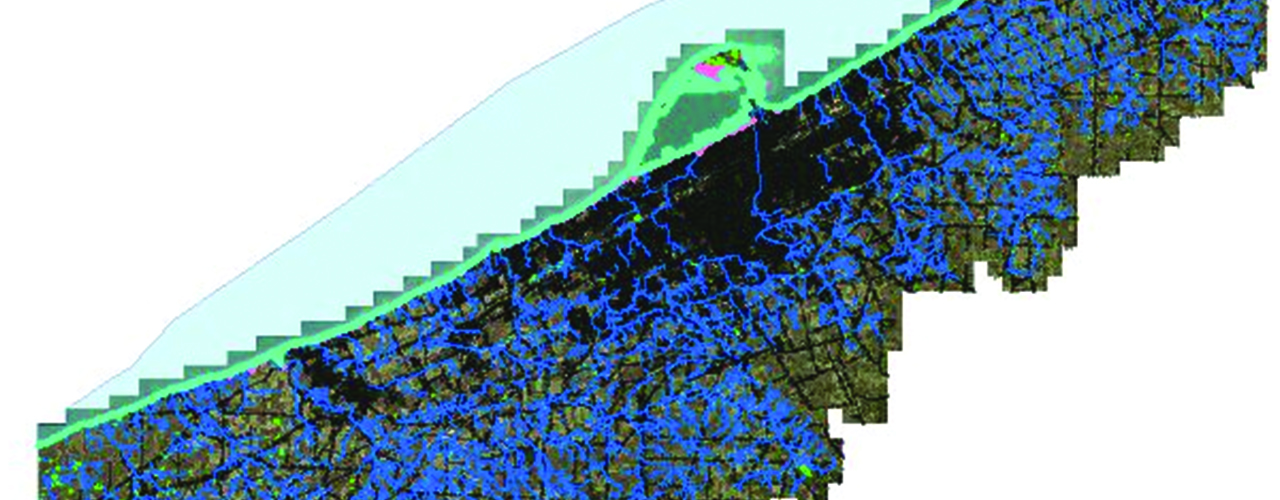
Woolpert was contracted to acquire new aerial imagery and lidar over 512.4 square miles of the Lake Erie Watershed to produce 1”=100’ scale color digital orthoimagery, impervious surface delineation, hydrology and bluff delineation to support the preservation of the watershed. The Lake Erie Watershed is a major drainage catchment in northwestern Pennsylvania, with direct runoff and sub-watersheds with waterways flowing into Lake Erie.
Individual Woolpert teams for management, GIS/remote sensing, survey, acquisition, cartography and lidar coordinated the work using new horizontal/vertical ground control points and new airborne GPS to support the base mapping.
Woolpert collected six-inch aerial imagery and aerial lidar with a point density of 0.7-meter for the project area, utilizing the Leica ADS (digital aerial cameras) and ALS (lidar sensors), extracting the impervious surfaces, bluff/shoreline and hydrology features using remote sensing processes.
The processed lidar was supplied to the Pennsylvania DEP and the Pennsylvania State University (PSU) in LAS format with the lidar defined as ground and above ground and classified as default, ground/bar earth, low, medium and high-vegetation and buildings. Woolpert also provided PDEP and PSU with and area-wide shapefile delineating impervious surface areas.
Client
Pennsylvania Department of Environmental Protection
Location
Lake Erie, PA