Little Bighorn National Cemetery Digital Mapping
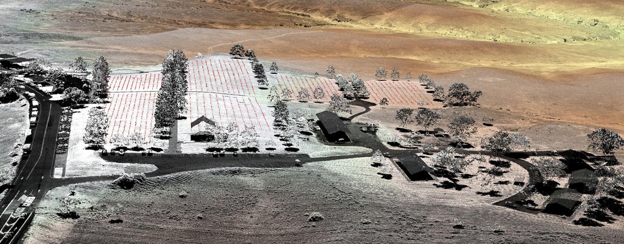
Combining modern techniques with century-old data, Woolpert helped the National Park Service create a detailed scan and map of the Little Bighorn Battlefield National Monument, pinpointing the headstones and battles that occurred in the area.
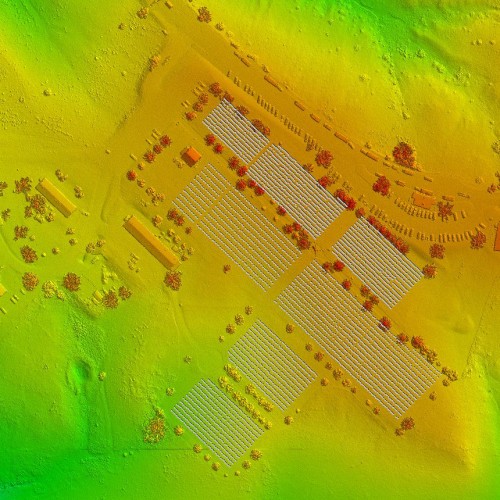
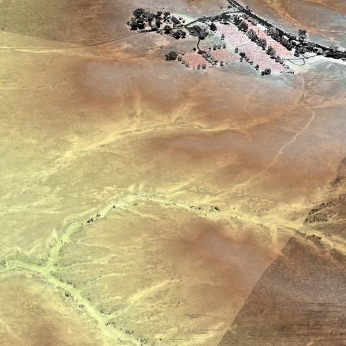
The Woolpert team flew an 8.57-acre lidar collection within the monument’s boundaries at 12 points per square meter and then used the lidar point cloud data, digital elevation model and digital surface model to develop a new type of product: a digital map of the monument identifying locations of headstones and battlefield markers.
More than 4,300 headstone markers and approximately 285 battlefield markers were identified and located. Using feature extraction, headstones were categorized into three styles (general, Spanish War and Civil War styles) based on small variations in monument height.
The team processed the data and reconstructed the cemetery—manually editing and reviewing it—and completed a quality check at the end. The final product included a shapefile and Esri geodatabase containing polygons that represented the locations of the headstones and battlefield markers.
Client
National Park Service
Location
Crow Agency, MT
Award
2015 Geospatial Excellence Award, Photogrammetry/Elevation Data Generation
Services
- GIS Design and Development
- Lidar