Mobile Lidar Pavement Scanning at Houston Airports

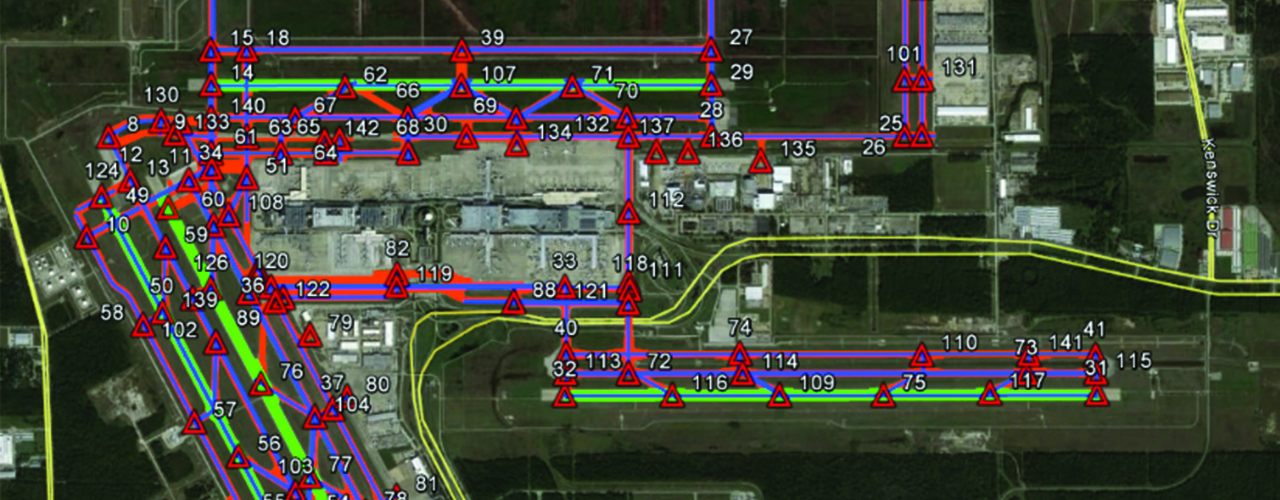
The Houston Airport System (HAS) faced aging infrastructure and facilities at all three of its’ airports—George Bush Intercontinental (IAH), Houston Hobby (HOU) and Ellington (EFD). In need of a new method for evaluating pavement conditions, HAS selected Woolpert to perform an assessment of all runway and taxiway systems (including pavements, markings, lighting and airfield signs) and develop recommendations for repair/replacement, implementation and budgeting.
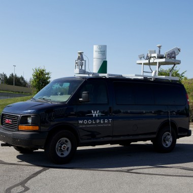
Woolpert employed its mobile mapping system (MMS) to collect over 5TB of raw data with only minimal impact to airport operations. Using van-mounted lidar sensors and high-resolution cameras, the team collected over 500,000 pavement images and 23 billion lidar points in just 96 hours. This highly accurate spatial data was used to map 100% of the pavement distresses, including cracks as small as .25 inch in width. Woolpert then validated and processed the data with PAVER™ maintenance and replacement software and created prioritized maintenance and replacement recommendations.
In addition to these findings and recommendations, Woolpert provided HAS with the following electronic data deliverables suitable for integration into the existing HAS asset management system:
- Map exhibits and data tables
- GIS shapefiles for pavement features at all three airports
- Inventory of all pavement defects
- Condition assessment calculations
- PAVER databases for all three airports
Woolpert’s MMS cut data collection time from 40 days to just 12.

Client
Ricondo & Associates
Location
Houston, TX
Insights
Article: Mobile Mapping Maximizes Efficiency of Pavement Program at Houston Intercontinental.