OHIO STATEWIDE IMAGERY PROGRAM
Project Details
CLIENT
State of Ohio, Office of Information Technology
LOCATION
OH
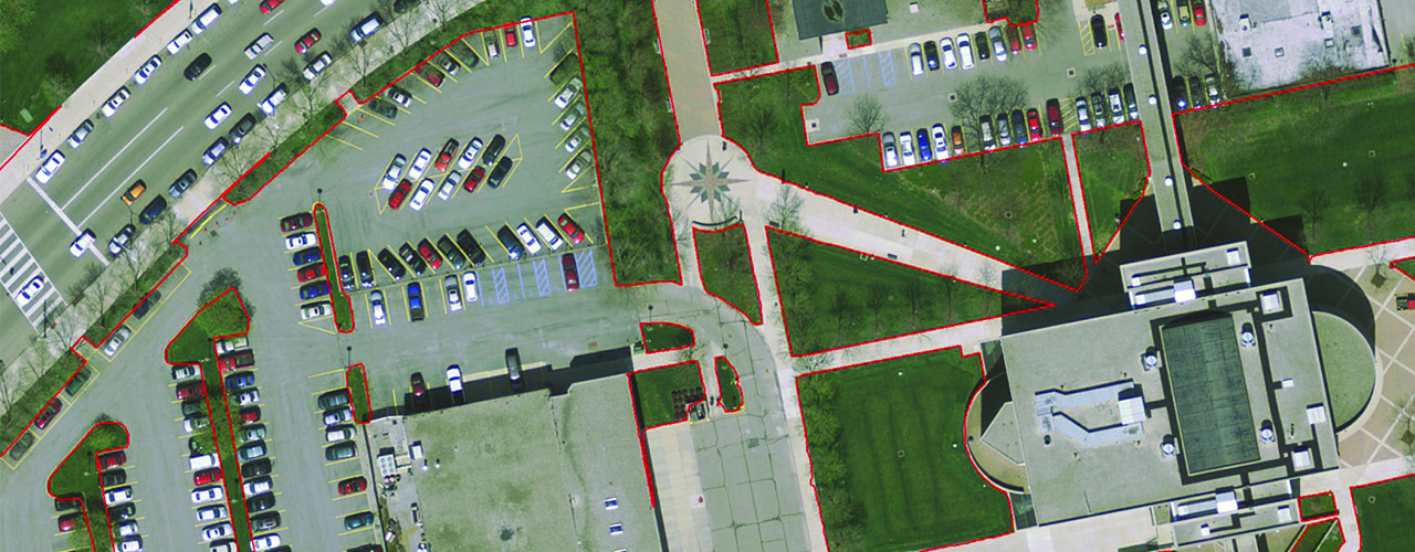
Woolpert is providing the state of Ohio with accurate, high-resolution imagery as part of the Ohio Statewide Imagery Program (OSIP). Using our fleet of aircraft and sensors, the Woolpert Team is collecting lidar, natural-color oblique imagery, four-band (red, green, blue and infrared) imagery and other remotely sensed data (such as imagery acquired by UAV technology). The project team is using the data to produce color digital orthoimagery with12-, 6-, 3- and 1.5-inch pixel resolutions and generate consistent digital elevation models (DEM) from lidar.
The data collected by the Woolpert team updates Ohio’s current base map with accurate and seamless statewide imagery. Numerous state agencies, including the Department of Transportation, Department of Natural Resources, Environmental Protection Agency, Emergency Management Agency and Department of Agriculture use the mapping data to improve spatial applications and services such as economic development and the management of properties, utilities and the environment. Emergency response agencies also use the imagery to improve, safety response and public health.
Acquisition of OSIP imagery will continue through 2020. Woolpert has provided data collection services for all three iterations of OSIP, starting with the original program initiated in 2006.