Singapore Airborne Lidar and Orthoimagery Data Collections, DEM and Planimetric Feature Generation
Background
The Navy contracted with NAVGeo LLC, a joint venture in which Woolpert is one of three partners, to provide GIS, surveying and mapping services for various Navy and Marine Corps facilities and other government facilities CONUS/OCONUS.
Purpose
This task order involved the collection of airborne lidar and imagery services for the production and delivery of digital elevation modeling, orthoimagery and planimetric feature extraction over Sembawang Naval Base in Singapore. It also supports the Singapore Digital Orthophotography and GPS Project for the Navy Facilities Engineering Command – Far East (NAVFAC-FE).
Solution
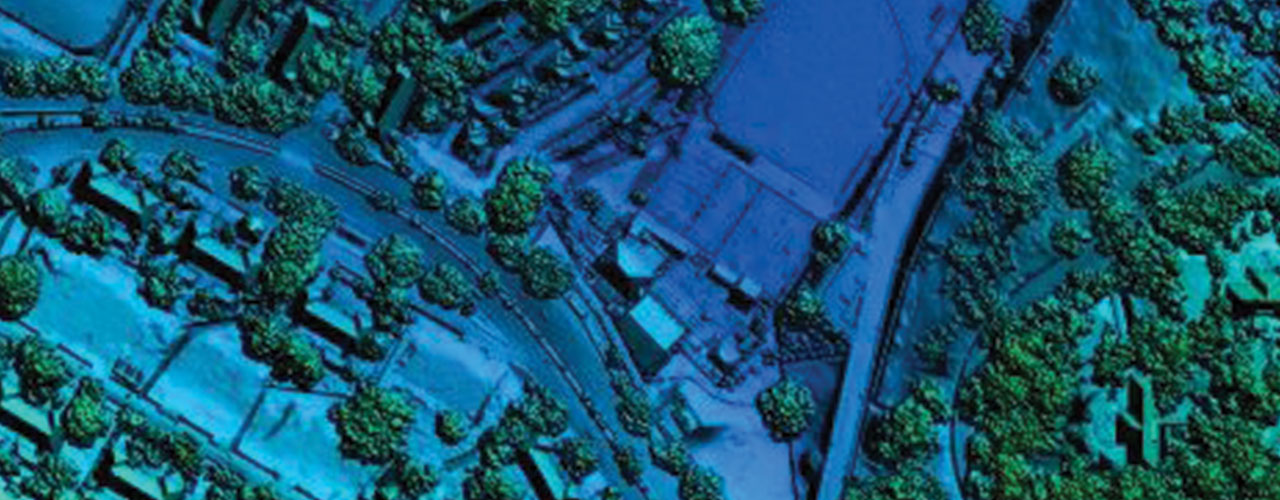
To support airborne data collection, the survey team established 3D coordinates on 33 ground control points using real-time kinematics GPS survey techniques. High-resolution digital orthophotos were captured at 6 cm GSD to produce 7.5 cm pixel resolution natural color (RGB) imagery products. The team captured airborne lidar at a nominal pulse spacing of 0.28 meters (12 ppsm) simultaneously with the aerial imagery over the 4.8-square-mile project site.
Outcome
The NAVGeo team collected planimetric features as outlined in the NAVFAC Data Collection Guide and delivered in SDSFIE 3.0-compliant Esri geodatabase format. Project-level FGDC-compliant metadata was delivered in ASCII-delimited file format per feature group.
Client
U.S. Navy
Location
Singapore
Services
- Aerial imagery
- Lidar
- Surveying