SLOPE FAILURE UAS EVALUATION
Project Details
LOCATION
West Virginia
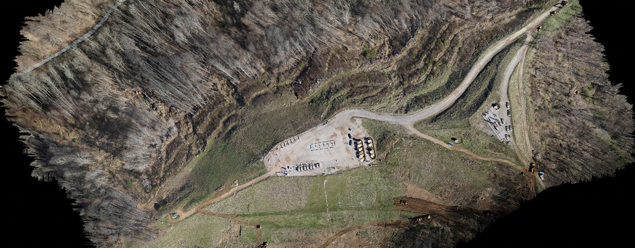
Woolpert collected accurate, scalable geospatial imagery of several slope failure sites. Using a Kespry unmanned aircraft system (UAS), Woolpert conducted a highly accurate, controlled topographic survey from approximately 400 feet above ground level. The project team collected ground control points at each site as well as topographic check shots to complement the eventual contour extraction. Two-foot contour intervals were extracted from the aerial imagery.
Woolpert delivered the client’s data via the cloud and Kespry’s website. Access was also provided to real-time orthomosaic imagery, digital elevation models, 3D mesh, 3D point cloud and LAS files. This up-to-date imagery easily integrated into the client’s existing CAD/GIS system and promoted efficient planning and remediation efforts.