STATEWIDE AIRPORT MAPPING PROJECTS

Project Details
CLIENT
South Carolina Aeronautics Commission
LOCATION
Airports throughout South Carolina
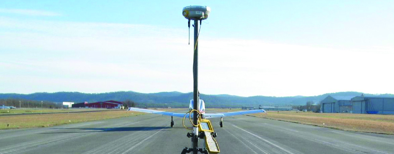
The South Carolina Aeronautics Commission (SCAC) maintains publicly accessible aeronautical information on the airports, heliports, seaplane bases, ultra-light parks and glider ports in the State of South Carolina. As part of its effort to update this information, the SCAC selected Woolpert for a five-year, on-call contract to develop high-resolution color orthophotography, including topographic mapping and obstruction surveys, for selected airports across the state.
Woolpert has collected airfield data at more than 30 South Carolina airports.
Woolpert prepared the obtained data to comply with the SCAC GIS data schema, FAR Part-77 guidelines and AC 150/5300-18B standards. The data collected for this project enables SCAC to maintain its web-based GIS with current imagery, runway, NAVAID and obstruction information for all public-use airports in South Carolina. SCAC uses this information to update the state airport directory and stay ahead of the FAA’s 20:1 approach analysis (which keeps airports from losing procedures/nighttime operations or increased minimums).