UAS SURVEY—PORTSMOUTH BYPASS
Project Details
CLIENT
Beaver Excavating
LOCATION
Scioto County, OH
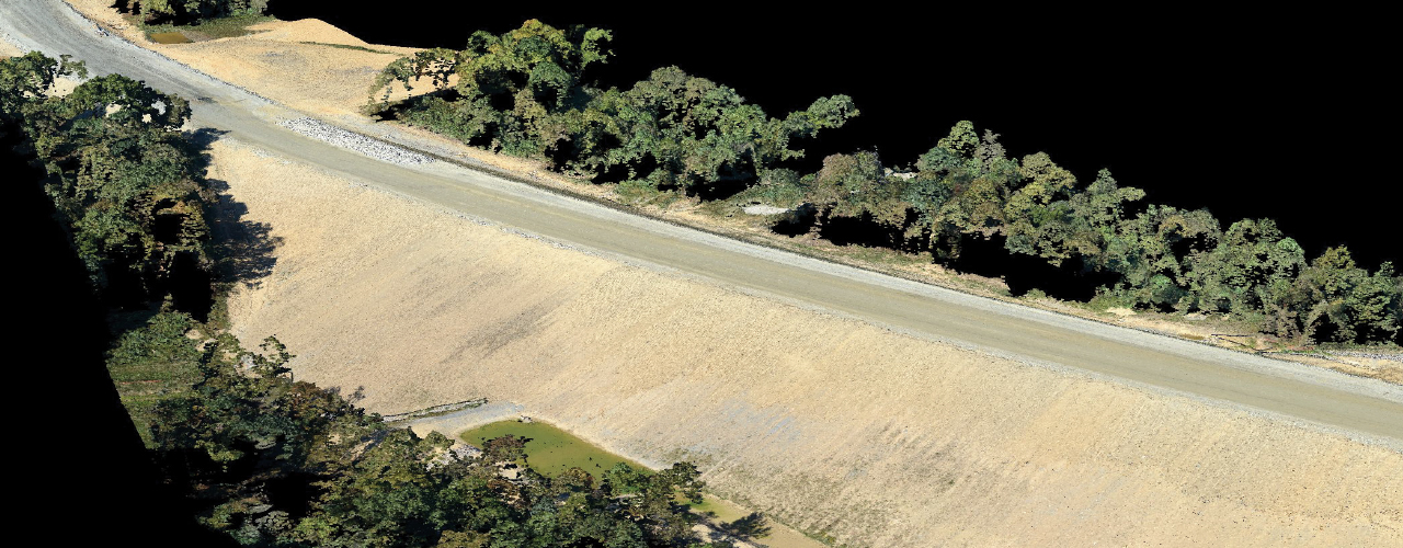
Beaver Excavating, an Ohio site development and construction company, selected Woolpert to provide aerial mapping for 17 linear miles of the Portsmouth Bypass. Woolpert’s goal was to capture a snapshot of the area without causing any disruptions to the project site. Deploying a Cessna 182 surrogate UAS, Woolpert collected georeferenced aerial photography of the corridor with 2-cm or better ground sample distance. Woolpert used the imagery to create a point cloud, develop a digital terrain model and deliver data for excavation calculations. The final deliverables, submitted to the client within a two-week timeframe, included a final digital surface model and orthomosaic imagery tiles.
Woolpert’s UAS technology made it possible to collect data supporting the topographic survey of an active, 17-mile transportation construction corridor in just one day—and without any traffic impact.