BLOG
Small UAS: Don’t Be Disrupted By Disruptive Technology
Written by: Qassim A. Abdullah, Ph.D., PLS, CP
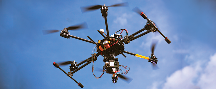
Drones, unmanned aircraft systems (UAS), unmanned aerial vehicles (UAV)—whatever you prefer to call them—are taking the geospatial community by surprise. UAS are almost becoming disruptive technology, or new technology introduced to society that deviates from the norm and changes the way we do business.
Why “almost?”
Well, it’s not so much disruptive versus a continuation of our photogrammetric processes and operations. UAS is nothing but a new platform to carry aerial data acquisition sensors. However, there are some additional characteristics associated with this different way of collecting aerial data. These unique characteristics create certain disruptions, including the following:

- UAS is unmanned. Therefore, there are new operational protocols and retraining efforts that require a new concept of operation (CONOP) that is usually associated with any disruptive technology.
- Imaging and lidar sensors aboard small UAS, the type of drone usually used by the geospatial community, are of low cost and quality as compared to what we are accustomed to with the conventional photogrammetric operations that use multimillion dollar, large-format metric cameras and expensive lidar. Such low-cost sensors make them suitable for small jobs and projects that require quick response times and fast product turnarounds. However, lower-quality sensors do not come without faults. The quality and accuracy of the produced geospatial products often suffer.
- The low cost of these new systems and the simplicity of operations bring a new breed of operators to our industry. Such operators, who have no previous knowledge of mapping or geospatial sciences and requirements, sometimes lead haphazard operations. They create products they can neither understand nor evaluate.
Such lower-quality products raise great anxiety among conventional users accustomed to standard geospatial products that consistently fulfill all requirements for common map accuracy standards. The number-one question we are faced with is, “How accurate are these products from UAS?”
At Woolpert, we stand by our clients and feel their anxiety and concerns. Accordingly, we have invested in independent studies to evaluate and categorize UAS product quality and accuracy in an effort to report back to our clients. By doing so, we strive to keep this “almost” disruptive technology from disrupting our business.
Watch Woolpert’s UAS in action.

Qassim A. Abdullah, Ph.D., PLS, CP
As Woolpert’s Chief Scientist, Qassim has more than 40 years of combined industrial, R&D and academic experience in analytical photogrammetry, digital remote sensing, and civil and surveying engineering. When he’s not presenting at geospatial conferences around the country, Qassim teaches remote sensing courses at the University of Maryland and Penn State, authors a monthly column for the ASPRS journal PE&RS, and mentors R&D activities within woolpert_labs.