BLOG
—
2022 Esri Partner Conference: Integration and Collaboration Focus After COVID Pause
Like most of us, I will never forget the late winter of 2020. On March 11, the World Health Organization declared COVID-19 a pandemic. On March 13, the U.S. declared a nationwide emergency. Two days after that, states across the country began shutting down in the face of the unknown.
In 2020, the Esri Partner Conference (EPC) was scheduled for March 7-11. That meant that Esri partners from around the world were flocking to the event in Palm Springs, Calif., just as COVID was rapidly bringing the world to a halt.
I remember EPC 2020 clearly. Questioning whether to board the plane to California, I constantly refreshed the news on my phone in the hopes of getting some clarity or at least some guidance. When no such update surfaced, I boarded my plane in Dayton, Ohio, and flew to Palm Springs. Upon arrival, people weren’t sure how to act (see Figure 1). We socialized, although apprehensively and awkwardly, and the conference moved forward. But before long, overwhelming and increasingly dire news on the virus began to pull attendees back to the relative safety of home. By the second day, most of us were scrambling to update travel plans for early departures. While I was able to secure a ticket home a few days early, fears of international travelers being denied re-entry and stories of co-workers stranded on layovers were common. I made it home safely on March 10, 2020, oblivious to the fact it would be years until I would take another work trip.
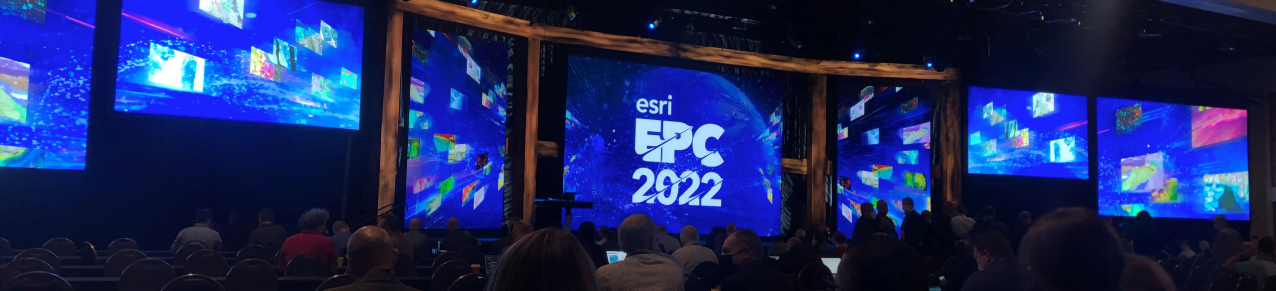
It was two years later (almost to the day) that I boarded another plane to Palm Springs to attend the EPC once again. Yes, masks were on, but the previous apprehension was replaced with excitement—we were going somewhere, to meet with others, actually in person. These were wild concepts after two years of canceled events, remote work and social distancing.
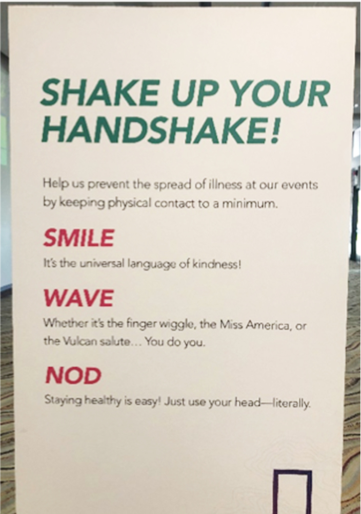
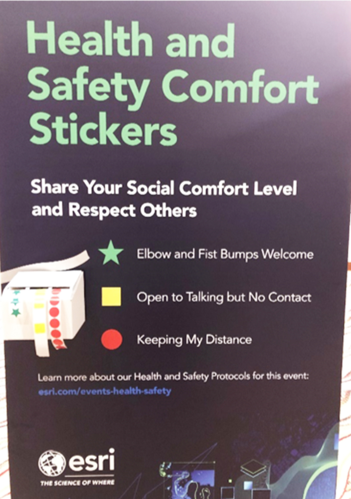
It was great to be back at the EPC among excited co-workers, colleagues and friends. While health and safety protocols were still in place and signage was admittedly odd (see Figure 2 and how stickers signified comfort with contact), we were excited to reconnect and discuss new technologies and expanding opportunities.
The conference was well attended by both international and domestic partners and the sessions were lively. Esri and its partners showcased a positive and impactful direction for the geospatial industry. Here are some of my observations and technical highlights from the EPC, in no particular order:
- Esri reaffirmed its desire to become a large business player and household name, in the same vein as Apple and Salesforce. During the plenary session, Esri co-founder Jack Dangermond highlighted growth trajectories and targeted goals to back up that desire.
- ArcGIS GeoBIM was heavily featured in many sessions. ArcGIS GeoBIM enables direct connectivity between Esri’s ArcGIS Online and Autodesk’s Construction Cloud to better support workflows among CAD, GIS, design and asset management. Where ArcGIS GeoBIM really stood out was in its core simplicity. The product isn’t about flashy new technologies that are often misunderstood, but rather about data access and integration. It bridges the gap between two platforms, allowing stakeholders to work together dynamically. Maybe ArcGIS GeoBIM can’t squash the age-old CAD versus GIS beef, but it easily exposes principles of geodesign to architects, engineers and geospatial professionals alike.
- The Esri/Microsoft partnership is alive and well, and the continued integration of ArcGIS and Microsoft’s Power Platform was showcased. Some of these advancements were most certainly due to pandemic-driven remote collaboration and Microsoft Teams reliance, but the future applicability of Esri and Microsoft Robotic Process Automation looks massive.
- I found the discussion about ArcGIS Knowledge to be of particular interest. This technology enables GIS professionals to ingest and interrogate nonspatial and unstructured data alongside traditional geospatial data. I can’t do it justice here, but the technology looks at data, interactions and underlying relationships to expose patterns that aren’t readily evident or easily identified.
- Many sessions highlighted the increased implementation of Site Scan for ArcGIS. Of course, the application of unmanned aircraft systems data at the site scale is nothing new, but it was cool to see data reflecting the growth of that trend and the adoption of geospatial technologies and approaches at increasingly smaller scales.
- At the other end of the spectrum, Esri touted its recently acquired SURE for ArcGIS for large-scale mapping and 3D deliverables. Esri’s use of SURE is not new, but they are clearly targeting many advancements in photogrammetry with this technology.
- Woolpert is a Gold Tier Esri Business Partner, and our reality capture work was showcased in a plenary slide, as was the vegetation management work of our recently acquired company, AAM.
While conferences frequently have a driver around a new technology or an exciting buzzword (I’m looking at you: blockchain, edge and NFT), the 2022 EPC’s overarching theme was integration and collaboration. I would say digital twin was probably the most referenced concept due to its myriad applications, scales and use cases, but it was almost as if the industry had become comfortable with this constant onslaught of new technology. Instead of focusing on any particular shiny object, we as a community were focused on collaboration to put all the shiny objects to work to solve real human and environmental problems. After two years of remote work, I thought that was nice. Hopefully this type of in-person collaboration will continue to define our next steps as we emerge from the pandemic and work together as an engaged community.
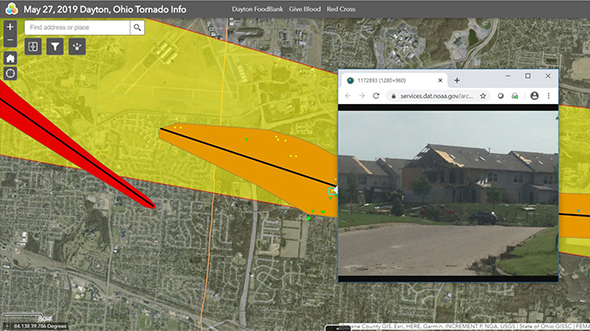
One last pandemic-related note: As COVID has continued to challenge the world, the geospatial industry has advanced to help address associated needs. Geospatial visualizations and dashboards were thrown into the spotlight in an attempt to make sense of the spread. The need to rapidly consume and map disparate datasets of outbreaks, hospital beds, cases and recoveries led to massive advancements in underlying technologies and processes. COVID isn’t over, but it feels good to be part of an industry actively working to target this pandemic, in addition to supporting technologies that address many societal, environmental and infrastructure needs.