Energy and Water Resources
Woolpert is performing landman, engineering and surveying services to support exploration and production efforts in the Utica Shale region of Eastern Ohio. Woolpert’s responsibilities are focused on water resources, right-of-way and supporting engineering and geospatial services used in the drilling and fracking stages of the unconventional oil and gas resources in the Utica Shale region.
Woolpert is providing the following services:
- Courthouse deed and title research
- Land owner meetings, contract negotiations and project communication
- Acquiring surface use agreements
- Acquiring right-of-way agreements
- Acquiring municipal and private water sources
- Right-of-way flagging
- Pre-, post- and permit-construction walks
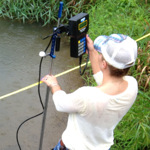
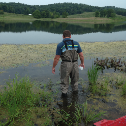
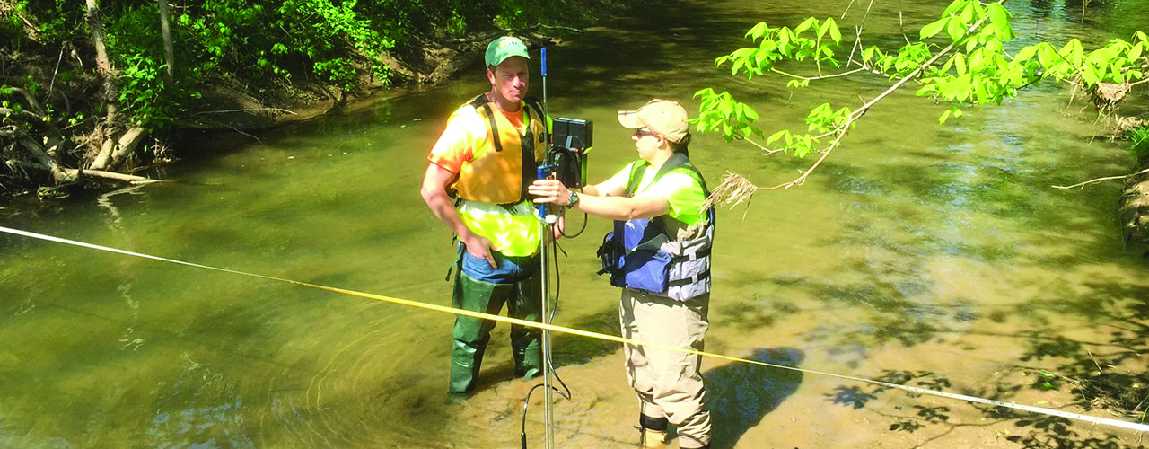
- Water quality and quantity testing and monitoring
- Wetlands identification
- Truck load-outs and staging site design
- Landman services
- Civil engineering
- Environmental engineering
- Survey and mapping
- GIS/asset management