Longbeach Marine Archeological Survey
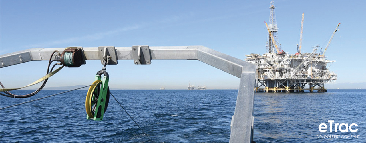
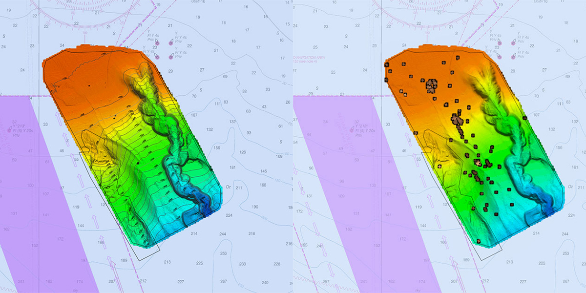
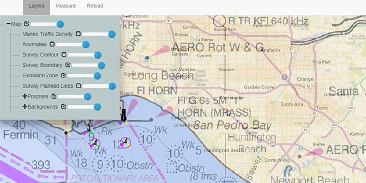
Woolpert completed an extensive marine archeological survey offshore of Longbeach in southern California, covering over 10,000 acres. Woolpert first completed a full multibeam survey to acquire detailed bathymetry data across the survey area with depths ranging from 100 to 1,200 feet. A dual frequency EdgeTech 4200 Sidescan sonar and Geometrics 882 magnetometer were towed in tandem along 40 m spaced survey lines. The systems were towed close to the seabed to image features 0.25 m down to the maximum depth of 1,200 feet. The challenging environment included steep sloped canyons, offshore platforms, and environmentally sensitive areas.
The multibeam data acquired allowed Woolpert to conduct preliminary analysis on features in the area and provide valuable undulation information to develop flight profiles for raising and lowering the towed systems and maintain a constant altitude. The Woolpert team processed the snippets data acquired during the multibeam sonar survey to create a backscatter mosaic and identified sediment classification boundaries.