Barrow Erosion Survey
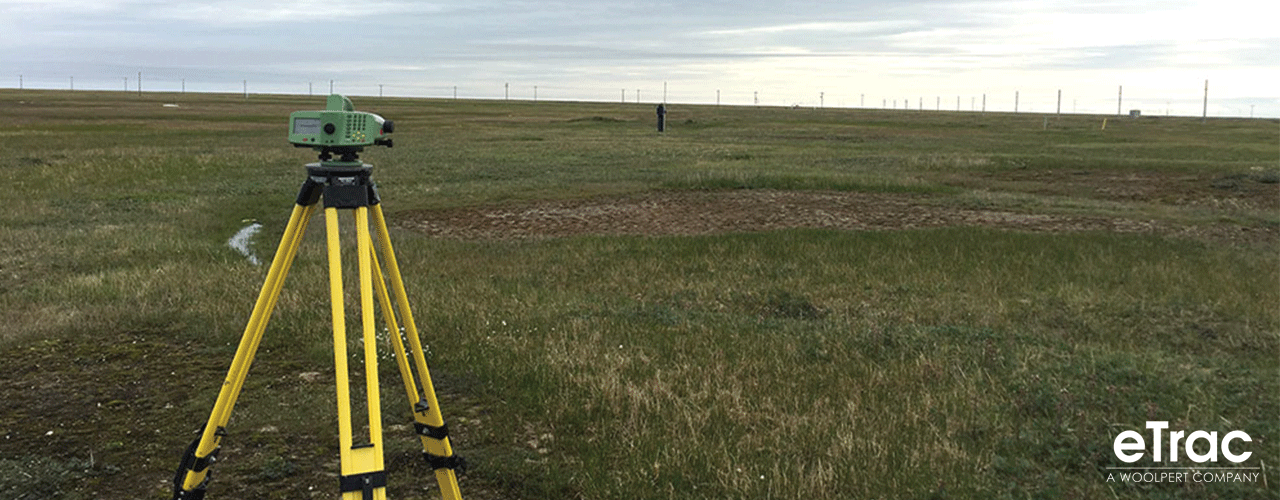
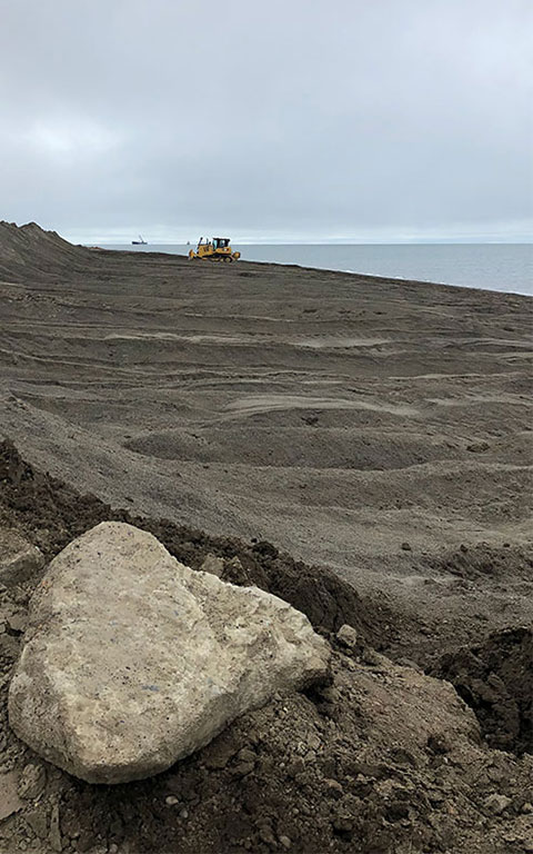
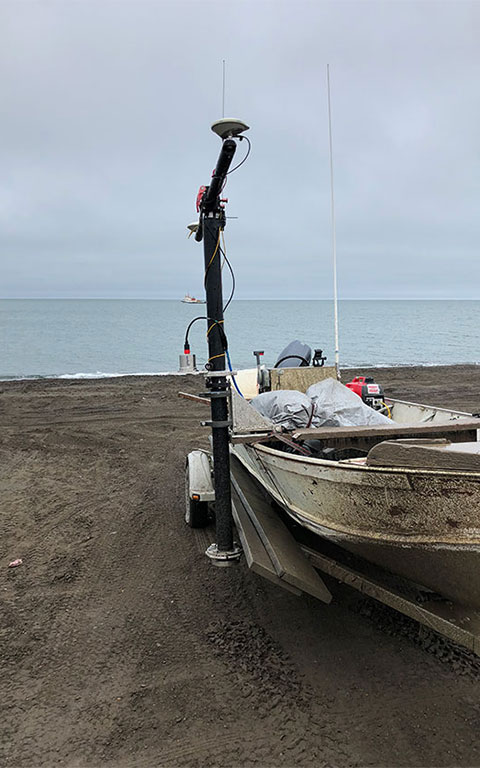
Located within the Arctic Circle is the northern-most populated “town," Utqiagvik (also known as Barrow). The USACE is assessing coastal erosion of the area's northern shoreline due to high winds, heavy ice, and permafrost. eTrac, a Woolpert Company, was contracted to conduct a single-beam survey of the eroding coastline. Our surveyors worked as a conglomerate team alongside other survey companies to complete this effort. eTrac utilized a local vessel of opportunity (18-foot Lund) to complete 62 survey lines, map the seafloor over a five-mile segment of shoreline, and determine bathymetric characteristics of the eroding shoreline.
Client
United States Army Corps of Engineers
Location
Barrow, AK