Lower Greens Bayou Watershed Planning Study
Background
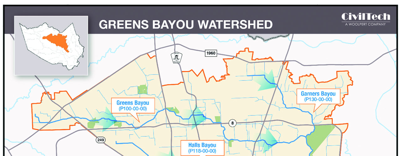
The Lower Greens Bayou Watershed contains primarily urban environments with a mixture of residential and commercial properties.
Challenge
The Harris County Flood Control District needed to identify a plan to reduce flooding risks along Lower Greens Bayou. The study area covered approximately 42 square miles and included 13 stream miles along Greens Bayou.
Solution
CivilTech, a Woolpert Company, was contracted to conduct a watershed planning study for proposed drainage improvements within the Lower Greens Bayou Watershed. The team identified and quantified existing flood risks; identified planning objectives, constraints and opportunities; formulated flood risk reduction alternatives; selected a recommended flood damage reduction plan; and further refined the list of projects to fund under the 2018 Hurricane Harvey Bond Program (or future bond programs).
CivilTech performed hydrologic and hydraulic analysis activities including establishing hydrology data based on current rainfall and lidar data as well as developing unsteady flow models for the 10%, 4%, 1% and 02% AEP events.
Additionally, CivilTech identifed and screened flood risk reduction concepts and measures, including cost estimates and performance metrics, for each identified project. The team supported HCFCD with community outreach throughout the study effort.
Outcome
The Lower Greens Bayou Watershed Planning Study ranks identified flood damage reduction projects to help HCFCD prioritize those projects to move forward to the preliminary engineering report phase.
Client
Harris County Flood Control District (HCFCD)
Location
Harris County, TX
Challenge
Reduce flooding risks along Lower Greens Bayou
Solution
- Conduct a watershed planning study
- Identify flood risks and risk reduction projects
Services
- Hydrologic and hydraulic modeling
- Flood risk management
- Civil engineering
- Community outreach