Napa River Tidal Datum Development
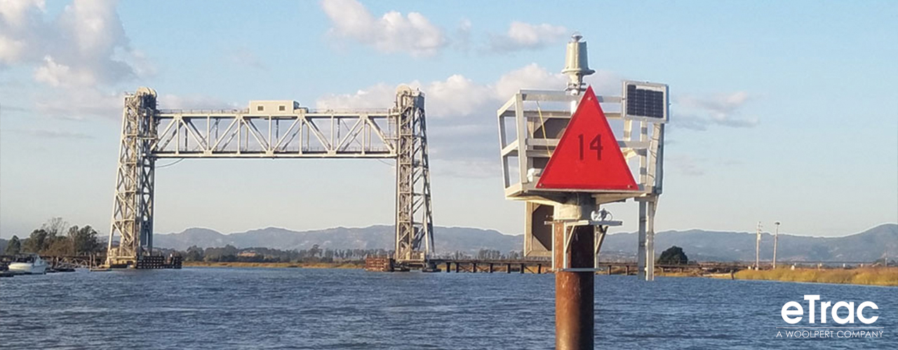
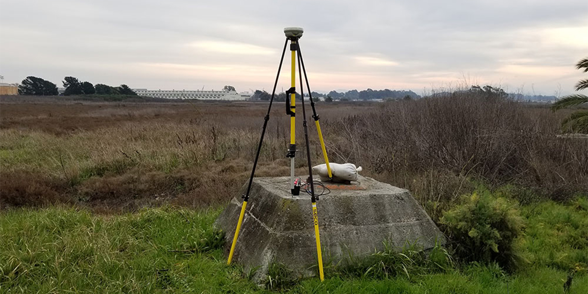
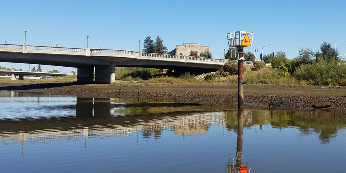
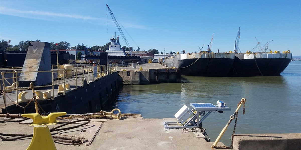
As part of a task order from the current USACE San Francisco five-year IDIQ contract, Woolpert was hired as a subcontractor to install and operate three water level stations, ensuring they adhered to NOAA specifications. The water level stations were used to compute tidal datums along the Napa River and navigation channel for future dredging and navigation projects within the area of downtown Napa, Brazos drawbridge, and Mare Island. Woolpert used in-house water leveling processing and tidal datum computation software and logged three months of data at each station. After the project, two of the three water level stations were transferred to the Napa County Flood Control District for permanent, ongoing use. Horizontal and vertical control in the area was established with a partner company, and they installed benchmarks, conducted static sessions ranging 30-50 miles, and completed the leveling.
Client
United States Army Corps of Engineers, San Francisco District
Location
Napa River, CA