Singapore Smart City
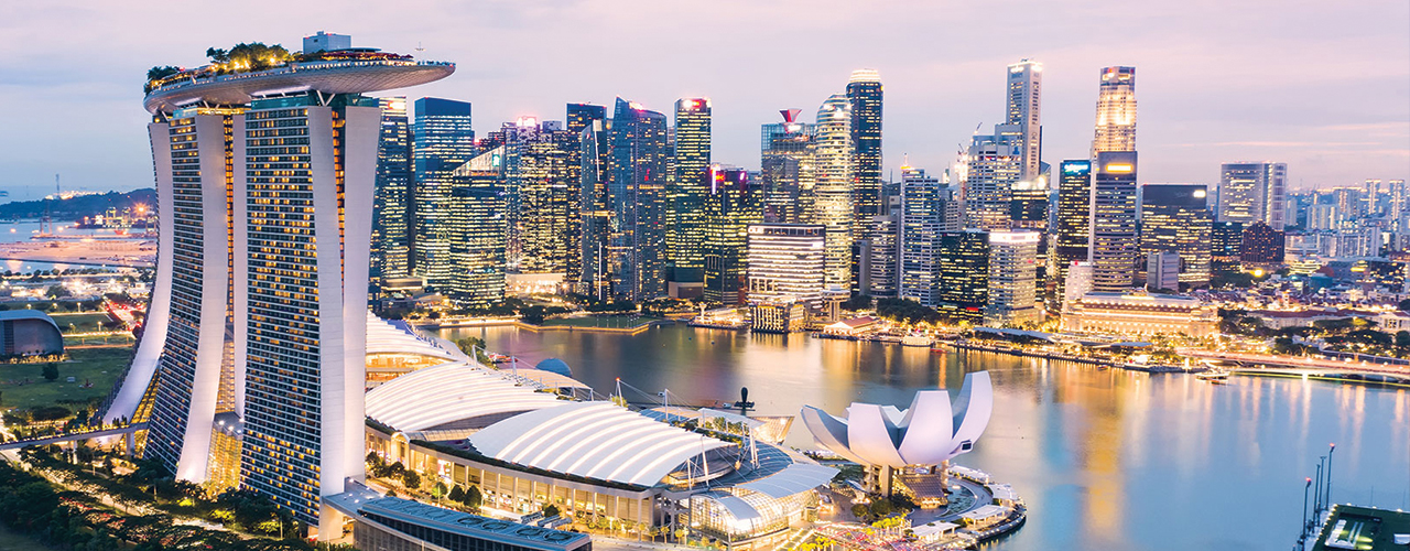
In 2014, the Prime Minister’s Office of Singapore unveiled Virtual Singapore, a dynamic 3D city model and collaborative data platform that included 3D maps of Singapore. When completed, Virtual Singapore will be the authoritative 3D digital platform intended for use by the public, private, and research sectors. It will enable users to develop sophisticated tools and applications for test-bedding concepts and services, planning and decision-making, and research on technologies to solve emerging and complex challenges for Singapore.
Challenge
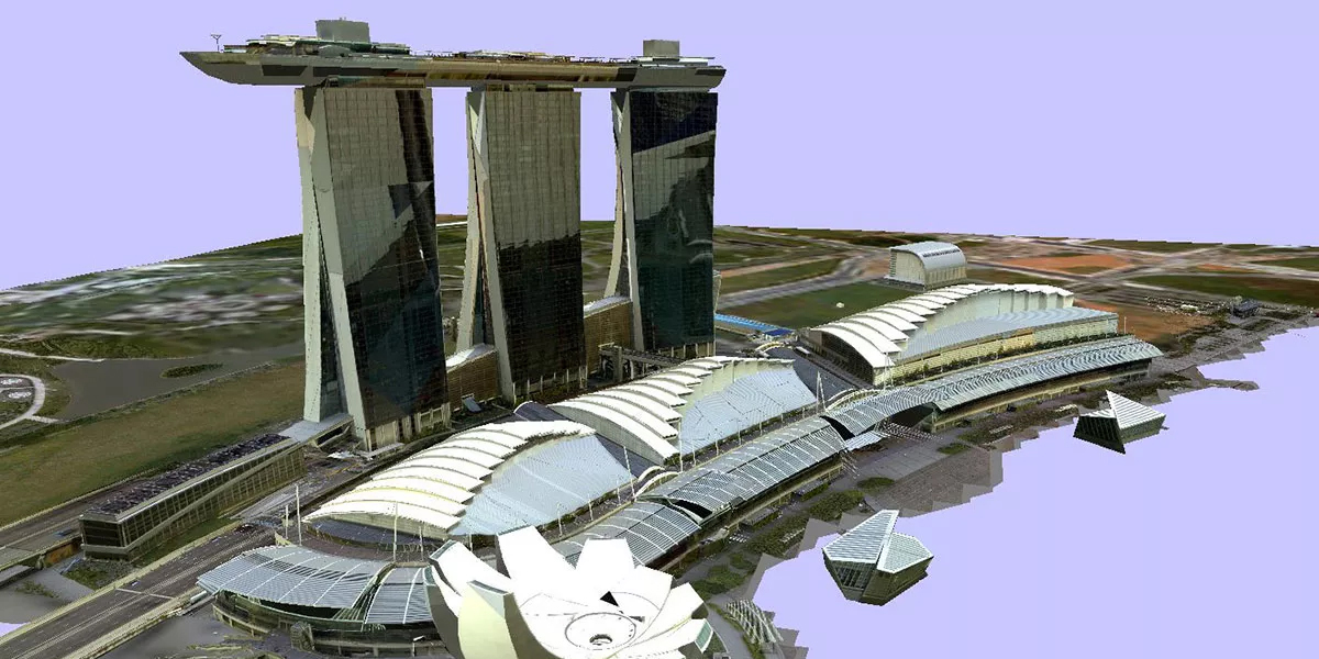
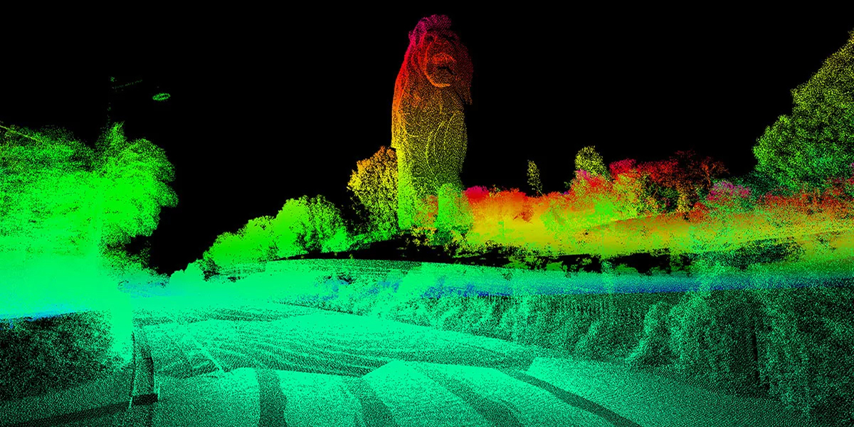
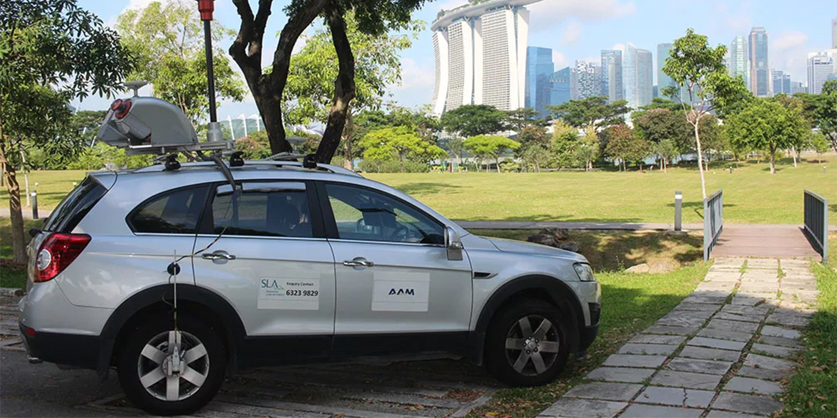
The Singapore Land Authority identified several spatial data layers as critical to supporting its smart city concept. These included an accurate terrain model, high-resolution orthophotos, oblique imagery, and photo-realistic/accurate building models across Singapore. While aerial survey offered the most efficient means of collecting these critical layers, Singapore is a difficult location for conducting aerial surveys. Frequent cloud cover, dense urban canyons, lush vegetation, busy airspace, strict data security laws, and tight international borders added to the complexity of data acquisition.
Solution
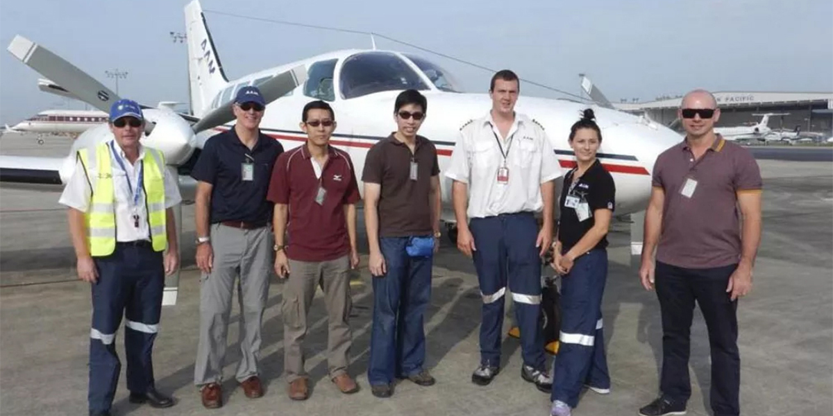
Woolpert Asia-Pacific mobilised two survey aircraft to Singapore to capture airborne lidar and aerial photography over the entire Republic of Singapore, as well as oblique photography over most of the country. State-of-the-art sensors were deployed to maximise the data quality and minimise the time required in the air to capture the data. Detailed planning, plus close liaison with aviation and security personnel, was critical to a successful capture programme. The project team processed all data in secure government premises.
Results
Woolpert acquired and delivered a dense lidar terrain model over and above the project specifications at greater than 5 points per square metre and better than 10cm cm rms accuracy. The delivered orthophoto provided Singapore with its first ever 10cm resolution colour image, available for all authorised government users. The next phase involved modeling the 200,000 textured buildings. The accuracy of these data layers supports reliable decision making from Singapore’s smart city applications. The layers’ realism will allow complex scenarios to be conveyed to stakeholders, including those unfamiliar with reading maps or 3D diagrams.