Projects
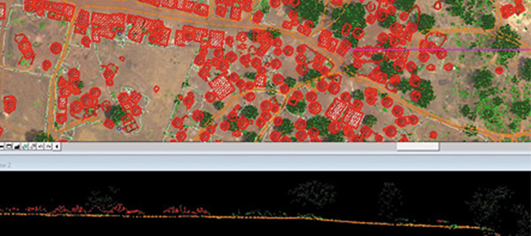
Boto Gold Feasibility Project
Senegal | 7798 ha
Lidar-derived digital elevation model and digital orthophotos for pre-feasibility study (including biomass estimations) of a mining area
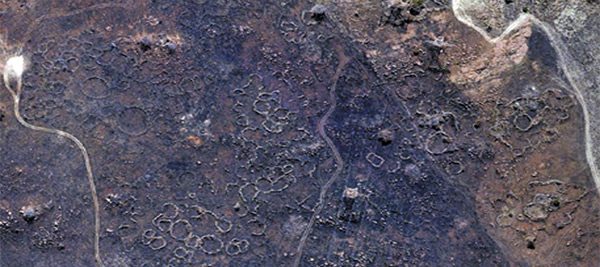
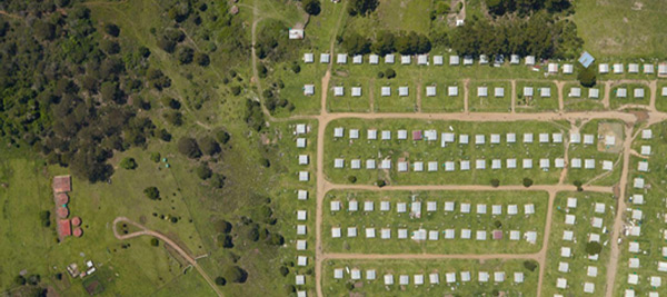
Tswana Iron Age Village
Meyerton, South Africa | 945 ha
Lidar-derived digital model and digital orthophotos of an archeological site for research
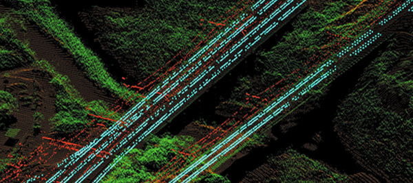
Morogoro Railway Line
Tanzania | 200 km
Lidar-derived digital terrain model and orthophotos for the design and planning of a railway line
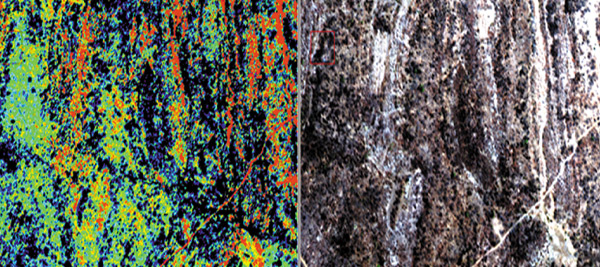
Rio Tinto Hyperspectral
Mozambique | 275000ha
Hyperspectral imagery, illumination correction, colour balancing, mosaicking and full mineral maps derived with detection of alteration zones
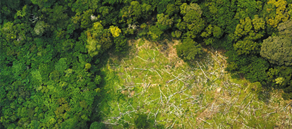
Carbon Audit Project
DRC | 64000 km
Lidar-derived ground and top canopy elevation in conjunction with ground surveys and satellite radar to estimate the carbon content of the above-ground tropical forest biomass
NPM Phase 4 Water Supply Project
Eastern Cape, RSA | 5114 ha
Lidar-derived digital terrain model and digital orthophotos for the construction of a bulk water infrastructure