GEOSPATIAL IN THE CAROLINAS
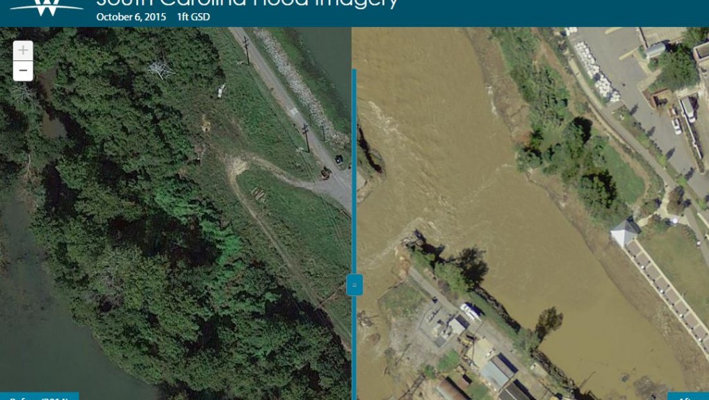
Woolpert has been providing unmatched geospatial imaging services to clients for more than a decade, and we continue to lead the industry with system and data processing advancements—even by developing the technology ourselves. Our geospatial experts have a host of technologies at their disposal that they use to collect, process and share. From aerial data collection, including lidar, to mobile mapping, Woolpert blends the cutting-edge with real-world applications to deliver value to our Carolinas geospatial clients.
Geospatial Services
-
- Data Collection and Surveying Services:
- Airborne(orthophotography, lidar, and ultra-high-resolution Renaissance imaging system) aerial maps
- Field Data Collection and Surveying
- Data Collection and Surveying Services:
-
- Mobile Mapping
- Unmanned Aerial Systems
- Data collects and processing