State and Local Geospatial
Woolpert is an industry-leading provider of geospatial data collection services. We merge decades of experience with a complete suite of technical resources to deliver top-quality geospatial projects on time and within budget to our state and local clients.
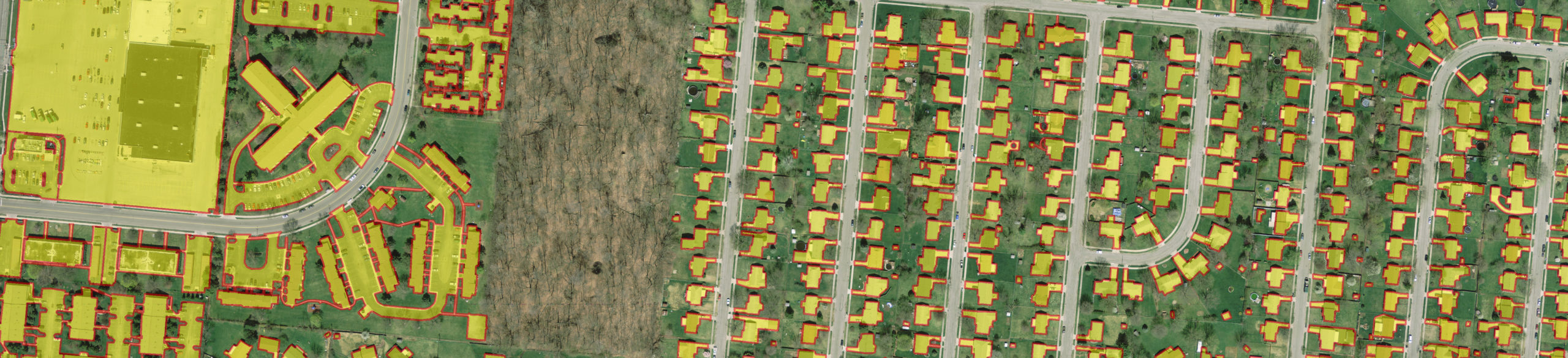
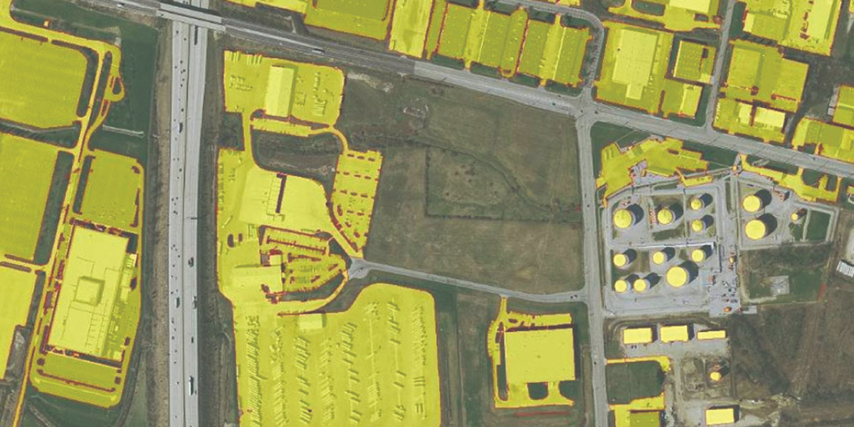
Without processing and analysis, data is just numbers. Woolpert’s data development experts transform raw numbers into accurate, useful analytic products. We offer a combination of traditional techniques, proprietary algorithms and commitment to quality that increases the value of any geospatial project. Woolpert provides the following data development services:
- 3D modeling
- Automated feature extraction
- Change detection
- Hydrology
- Digital terrain modeling
- Forestry
- Impervious surface delineation
- Land use/land cover
- Surface modeling
- Urban modeling
Project Spotlight

Capabilities
- Bathymetric lidar
- Four-band orthoimagery
- Ground control survey
- Mobile mapping
- Thermal imaging
- Topographic lidar
- Unmanned aircraft systems