BLOG
—
Prove It: Validating UAS Accuracy
In 2020, Woolpert opened an office in Egg Harbor Township, N.J., to support the company's full suite of unmanned aircraft systems and urban mobility personnel. Today, that office is now home to Woolpert's calibration field where organizations can evaluate various performance aspects of their drones.
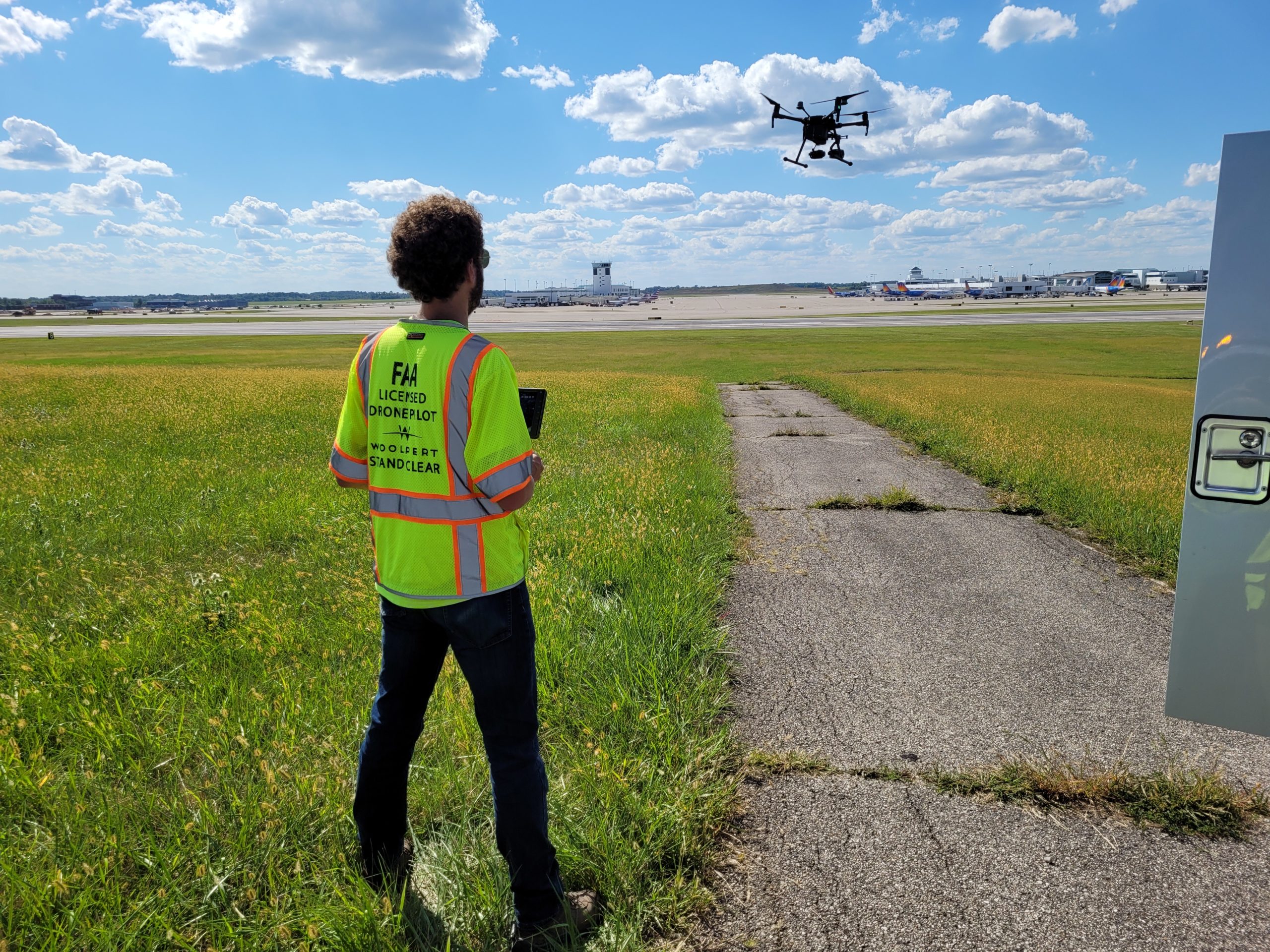
While the calibration field is less than one mile from the Atlantic City International Airport, the Federal Aviation Administration has approved Woolpert for UAS operations at the site, generating multiple benefits for the entire UAS industry. As always, regulatory considerations will be taken into account for all operations.
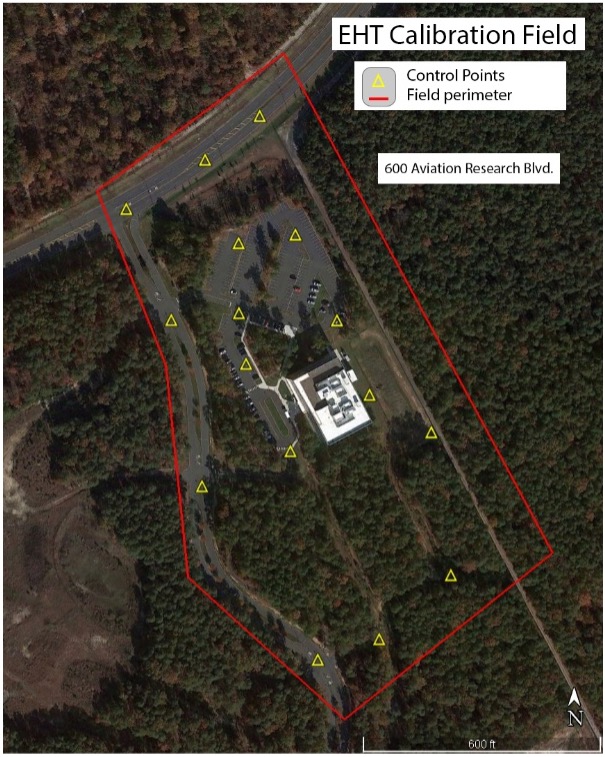
The Organizations That Stand to Gain
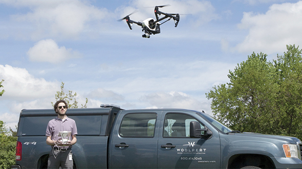
Woolpert's calibration field enables drone and/or sensor companies to validate claims about their drone-based systems. A surveyor licensed in New Jersey has reviewed and confirmed the calibration field's accuracies. Firms are now invited to fly their photogrammetry and lidar systems over the calibration field with Woolpert using established checkpoints to measure and verify accuracy.
If the company provides the advertised level of accuracy, it can sell its UAS confidently, knowing a third-party leader like Woolpert, which has a rich history of surveying, has validated claims of quality. If, however, the company discovers that its system fails to achieve the specified accuracy, it can undertake system improvements or adjust reported accuracies.
Still, UAS companies aren't the only ones that can benefit from Woolpert's new calibration field. Organizations buying these UAS systems also stand to gain. With the calibration field, Woolpert can help guide buying decisions by recommending systems capable of achieving the desired accuracy. Woolpert also can help protect companies from making oversold technology purchases by validating the performance of candidate systems.
Leading factors of development
The above benefits offer but a partial picture of why Woolpert built its calibration field; other factors also inspired the site's development. First, Woolpert noticed the need for a calibration field located near some of the industry's leading UAS providers. Second, Woolpert received requests to build a calibration field that could verify the accuracy of UAS.
However, the leading factor was Woolpert's desire to fully understand each system and its limits before purchasing to ensure its own clients receive the best possible product. In an age where unsubstantiated claims are abundant, Woolpert's calibration field provides the verification that all those in the industry need to make confident buying and data acceptance decisions.
Why Woolpert?
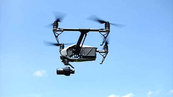
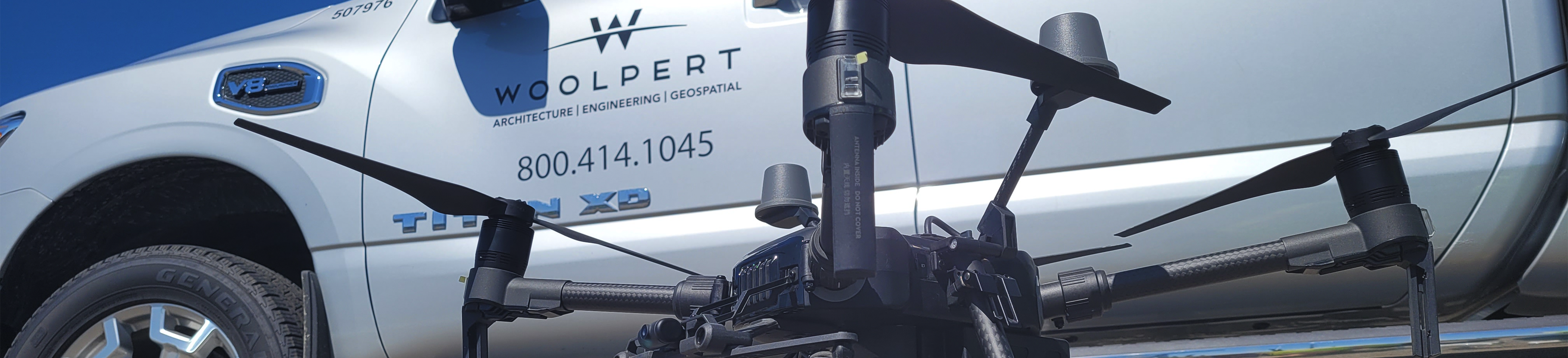
With a rich history in surveying and mapping, Woolpert expanded its remote sensing tools to include UAS in 2012. Woolpert was the first surveying and mapping company to receive an exemption from the FAA to fly a UAS commercially (Section 333) and has numerous certified and qualified operators (under the new Part 107) spread across the country. As a long-time user of AgEagle’s eBee X series drones, Woolpert now has the capability to comply with FAA-defined Category 3 UAS Operations, which includes operations of small unmanned aircraft systems over people without needing an additional certificate of waiver from the FAA. However, Woolpert still evaluates all aspects of each flight to ensure safe operations. Woolpert owns and operates six of these platforms across the country, which has exponentially expanded the potential projects previously restricted by this regulation.
The firm has also been contracted to work on multiple initiatives advancing UAS services. Among them is a project requiring Woolpert to help the Airport Cooperative Research Program examine and develop airfield use guidelines for UAS vehicles and operations. Other contracts include using UAS to perform repeated aerial mapping and surveying for two global mining operations. Additionally, Woolpert collaborates in federal policy development and invests in independent studies to assess and categorize the quality and accuracy of UAS operations traditionally completed by other means, such as foot-on-ground.
On top of its work in the UAS industry, Woolpert is an award-winning lidar leader for outstanding enterprise achievement. The International Lidar Mapping Forum and Lidar Magazine have recognized the firm for its various innovative contributions to the lidar industry in development, management and service. Woolpert's pioneering expertise is one of the many reasons why the National Oceanic and Atmospheric Administration contracted it to collect topo-bathy lidar and imagery for remote Hawaiian islands, and the U.S. Geological Survey selected the firm to gather aerial lidar data in Ohio and Tennessee for its 3D Elevation Program. These efforts represent a small fraction of the groundbreaking lidar initiatives federal agencies and organizations contract Woolpert to complete.

Aaron Lawrence, GISP
With over 20 years of experience, Aaron is the UAS technology manager for Woolpert. He was also one of the first in the country to earn a FAA Part 107 sUAS Remote Pilot Certificate.

Ethan Schreuder
Ethan is Woolpert’s UAS team leader, is an experienced survey technician, and possesses a strong GIS background. He is a licensed UAS pilot who has been spotted manning the controls of a flying-pumpkin-trajectory-measuring drone.