CITY OF INDIANAPOLIS GIS IMPLEMENTATION
Project Details
CLIENT
IndyGIS
LOCATION
Indianapolis, IN
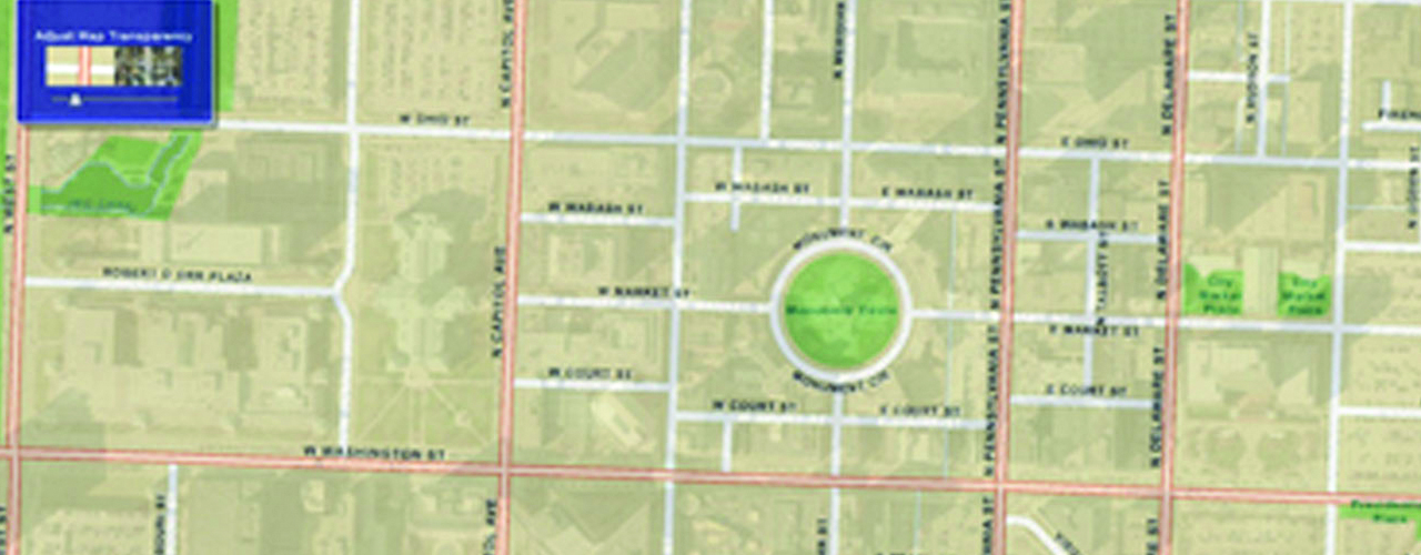
Over time, the City of Indianapolis/Marion County’s geographic information system (GIS) group evolved from a decentralized team of individuals in separate departments to a centralized division called IndyGIS. As the division grew, more and more layers of information were included in the GIS. As a result, more staff in various departments began using the system. No longer an on-demand map shop by 2002, IndyGIS evolved into an enterprise-wide system that provided more than 150 layers to 500+ GIS users throughout the city.
In need of a way to bring GIS to the enterprise and the public, IndyGIS selected Woolpert to provide consulting services. From 2003 to the present, Woolpert has provided programming, system integration, architecture, data development and project management services for more than 120 separate project work orders.
Woolpert worked with the city to identify key areas of functionality commonly used among GIS applications, as well as those that might benefit non-GIS applications, systems and their users, to improve service delivery to internal GIS customers and be more responsive to the public.
Together, the SOA cloud and various web-based applications have allowed IndyGIS to fully provide the power of GIS throughout the enterprise and to the citizens of Indianapolis and Marion County.