
…gain airport planning, engineering and architecture bench strength, in addition to innovative geospatial resources and expertise that include aerial and mobile lidar, subsurface utility engineering, unmanned aircraft systems, urban air…
Woolpert Establishes UAS Hub, Adds Office at Aviation Research Park in New Jersey
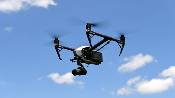
…hub in the National Aviation Research and Technology Park in Egg Harbor Township, N.J. The space will support Woolpert’s full suite of UAS and urban air mobility personnel, technology and…
Woolpert Contracted to Provide Survey, Design for Multiuse Trail at OSU Newark
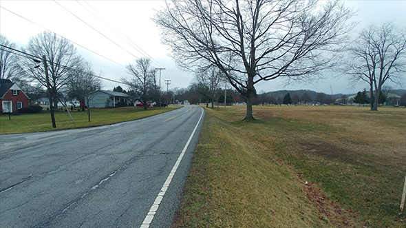
…County Area Transportation Study (LCATS), which plans, programs and secures funds to develop an efficient transportation system for the Newark urbanized area. It also is in line with the county’s…
Housing Resource Center
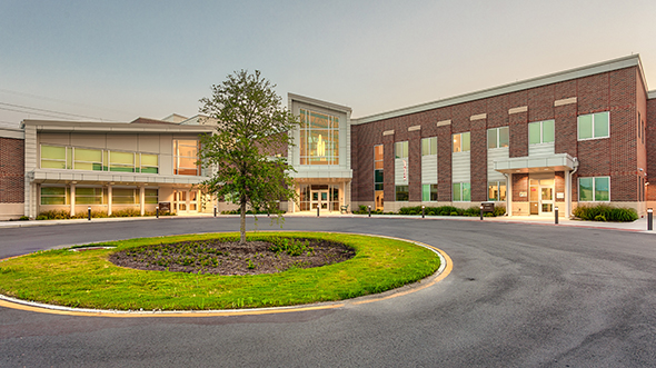
…Growth Area at the northeast corner of Witchduck Road and Southern Boulevard, the three-story wing is situated to create a strong urban street front. The separate-but-shared use of the facility…
2020: The Year Woolpert’s UAS Services Truly Took Off
…advance urban air mobility and unmanned traffic management, while working to ensure our UAS capabilities soar to even greater heights. Zachary Shuman Woolpert Aviation Program Director Zachary Shuman leads many…
Saving the World, One Building at a Time

…from renewable energy optimization and life-cycle analysis to urban-scale modeling and simulation tools Project STASIO (STAndard Simulation Inputs and Outputs) provides supporting content on inputs, outputs and case studies around…
DesignTech
…and approval Digital twins for power, gas and manufacturing Energy analysis Forestry Life cycle analysis Urban context scanning Benefits 4D and 5D modeling to evaluate required downtimes and costs AR/VR-enhanced…
UC College of Business and Main Street North Plaza

…Increased student capacity Enhanced campus connectivity LEED® Gold certification Additional Resources Blog: Incorporating a Natural Landscape Design into an Urban Campus Press: UC College of Business Celebrates Topping Out Milestone\n\n…
Remote Sensing Data at Home in the Cloud

…some cases, to create new scientific methodologies. Issues such as climate change, natural resource management, urban planning and agriculture span the Earth and require algorithms combined with data at the…
Partnerships Expand Woolpert’s Geospatial Footprint, Capabilities

…collecting and processing lidar data and orthoimagery, flood mapping, coastal management, GIS, acoustic survey, urban 3D modeling, Google Maps Platform and Google Cloud Platform, etc.—as well as developing imagery hosting…
Riverfront Commons: Dream to Vision to Community Transformation
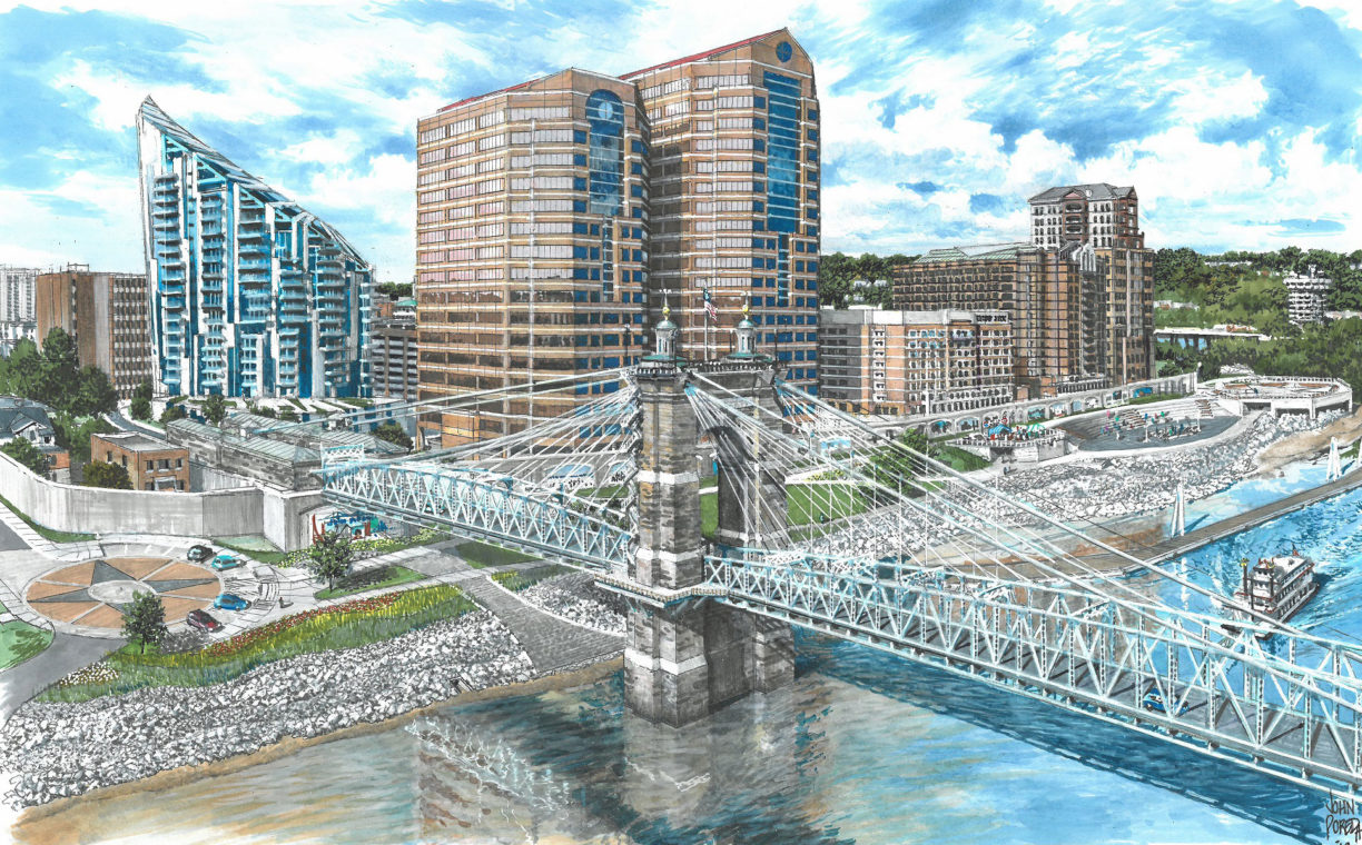
…community, economic development and tourism, and fosters quality urban living and connectivity. Southbank Partners is comprised of six cities, three counties and multiple business leaders throughout Northern Kentucky. The group…
Greenville County Services Overview
…watersheds are highly urbanized while others are relatively rural. These divergent features coupled with residential and commercial development create unique flooding issues throughout the county. Woolpert has assisted with prioritizing…
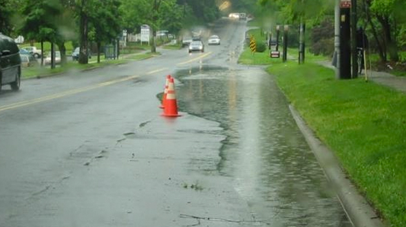
Myrtle/Morehead Stormwater Planning Study, Design and Drainage Improvements
…Drainage Improvement Project. This project evaluated the existing drainage system’s hydraulic capacity and condition and developed a cost-effective improvement plan for the highly urbanized study area. Land use in the…
3D Models Supporting Innovative School Design
…fjcstudio needed to assess solar studies, shadow impacts, and view analysis to ensure design harmony with the urban and cultural landscape. Regulatory approval required accurate simulations based on reliable spatial…