Measuring, Mapping, and Modeling Our World
Woolpert Asia-Pacific delivers client-centric solutions for the physical environment. With best-in-class aerial mapping, survey, and geospatial solutions as well as consulting and technology, Woolpert improves portfolio performance through the integration of business intelligence, geospatial insights, and organisational performance optimisation.
Our robust data and advanced digital solutions underpin the biggest projects in the Asia-Pacific and beyond. We offer the full spectrum of geospatial expertise from land surveying, aerial mapping, and the integration and implementation of GIS and related technologies to enterprise operation and decision support systems for planning, operation, management, and capital implementation.
Woolpert’s strategic consulting offerings provide end-to-end expertise for portfolio owners and operators. We provide performance enhancing analyses and the implementation of integrated management solutions. These services consistently deliver 10- to-40 percent improvements in lifecycle performance, enhanced operational efficiency, and reduced cost and environmental impact.
Our teams are focused on improving the physical and built environments with effective solutions tailored to address each client’s needs. Our team has the expertise to effectively support world-class, sustainable solutions.
Contact


Industries
Mining and Energy
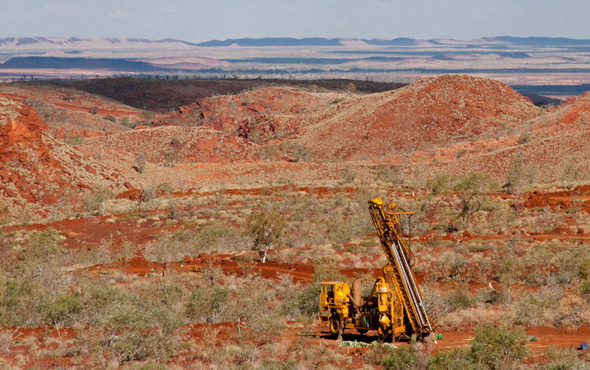
Use advanced spatial information technologies to boost mining and energy productivity, safety, and compliance through the complete mining life cycle.
Government

Reduce risk and deliver quality outcomes with expert spatial solutions for government departments and agencies.
Transport and Logistics
![]()
Keep supply chains moving with smart mapping and modeling of transport and logistics assets and infrastructure.
Architecture, Engineering, and Construction

Bridge the gap between architecture, engineering, and construction with geospatial mapping and real-world modeling, from planning through asset management.
Utilities

Launch utility greenfield projects with the right geospatial datasets and services and use as-built surveys across asset life cycles.
Natural Resources and Renewables

Deliver sustainable impacts with natural and renewable resource mapping and modeling solutions.