JALBTCX Program
Background
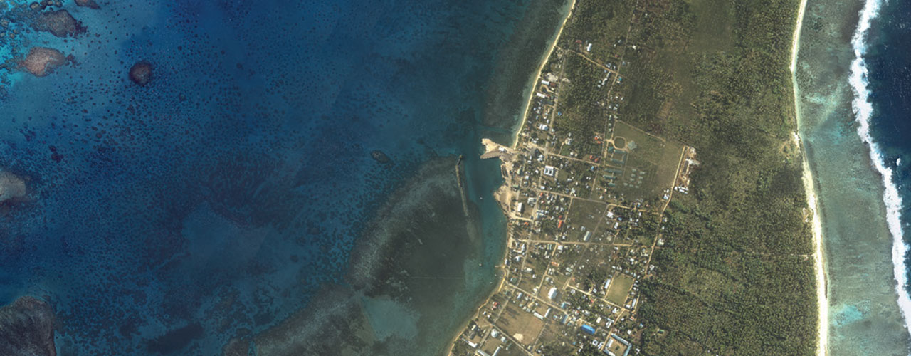
The Joint Airborne Lidar Bathymetry Technical Center of Expertise (JALBTCX) and its partner organizations use coastline data from oceans, lakes and other inland waterways for a variety of purposes, including tracking erosion, monitoring environmental impacts of natural disasters, performing volumetric studies, managing regional sediment and ensuring safe navigation. Woolpert first began supporting the program in 2010.
Purpose
The JALBTCX mission is to perform operations, research, and development in airborne lidar bathymetry and complementary technologies to support the coastal mapping and charting requirements of the U.S. Army Corps of Engineers, the U.S. Naval Meteorology and Oceanography Command, and the National Oceanic and Atmospheric Administration.
Solution
To monitor and manage the impact of change along coastlines, JALBTCX contracted with WMR-532, LLC, a joint venture in which Woolpert is one of the two partners, to collect and process bathymetric and topographic lidar data and hyperspectral imagery of coastal areas worldwide. The WMR-532 team deployed aircraft with Coastal Zone Mapping and Imaging Lidar (CZMIL) sensors for QL2 lidar data collection.
Outcome
After the data was collected, ground crews processed and classified the lidar data for use in derivative analytic products including point clouds, digital elevation models, bare earth models, imagery mosaics, hyperspectral imagery mosaics, laser reflectance images, volumetrics and shoreline change.
Benefits
The information collected is used to evaluate and quantify coastal resilience, manage sediment, identify debris and characterize impact to vegetation. The data is also used to minimize future storm impacts on infrastructure and populace as well as optimize planning and relief spending.
Client
JALBTCX
Location
Worldwide
Awards
Woolpert Earns Lidar Leader Award for Outstanding Enterprise Achievement
Purpose
Support coastal mapping and charting requirements
Solution
Collect and process bathymetric and topographic lidar data and hyperspectral imagery
Services
- Aerial imagery
- Bathymetric lidar
- Aerial imagery
Technology
- CZMIL sensors
- Proprietary feature extraction algorithms
Benefits
- Improved coastal resilience
- Sediment management
- Minimized storm impact
- Optimized relief spending
Additional Resources