
Federal Geospatial
Woolpert provides integrated geospatial services and project support capabilities to meet the varied needs of today’s federal GIS project managers. Working closely with our in-house engineers, architects, planners, and other technical and design professionals, we create much more than geospatial products—we create workable solutions. Clients apply Woolpert’s geospatial services to countless planning and management activities, including the following common applications:
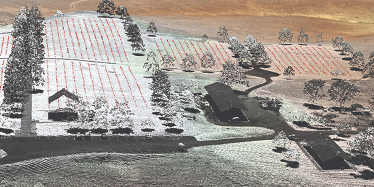
- Agriculture
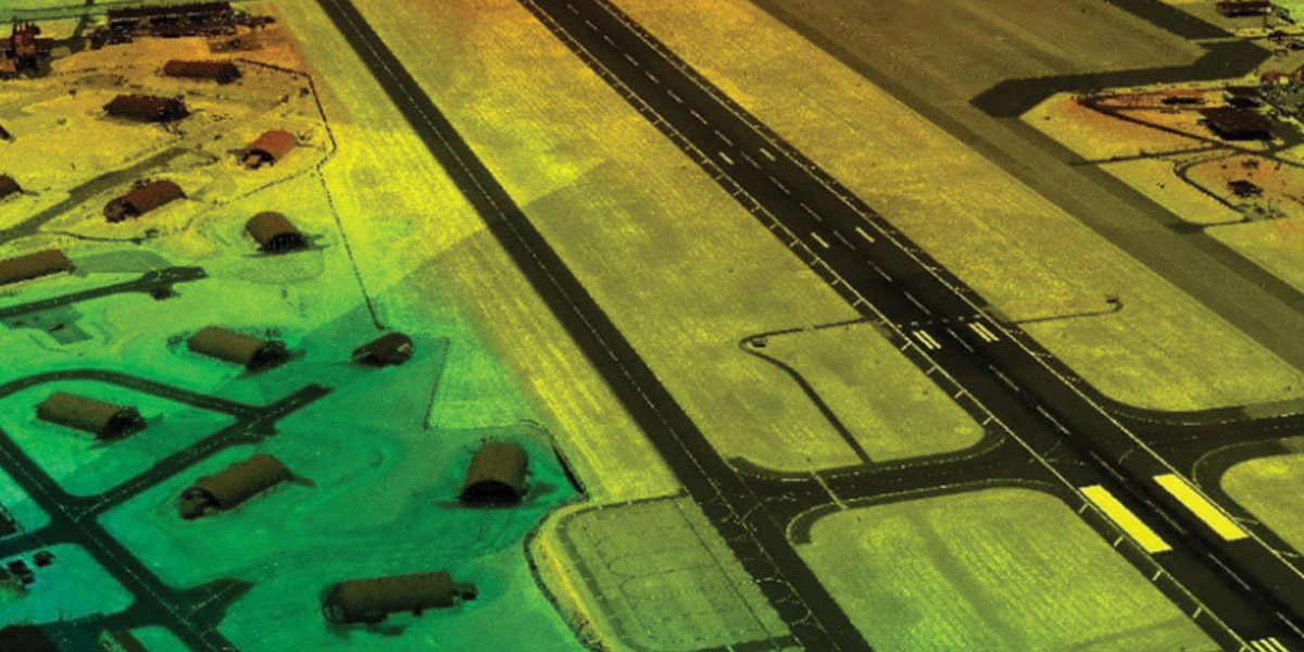
- Airport infrastructure
- Asset management
- Defense and border security
- Energy and critical infrastructure
- Environmental and water resources management
- Transportation planning
- Urban planning and design
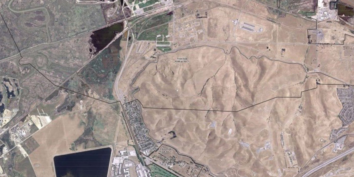
Project Spotlight
Capabilities
- Advanced sensor development
- Cloud solutions
- Disaster recovery
- GIS design and development
- Lidar
- Maps API and location-based services
- Marine capabilities
- On-site support
- Photogrammetry and remote sensing
- Surveying
- Unmanned aircraft systems