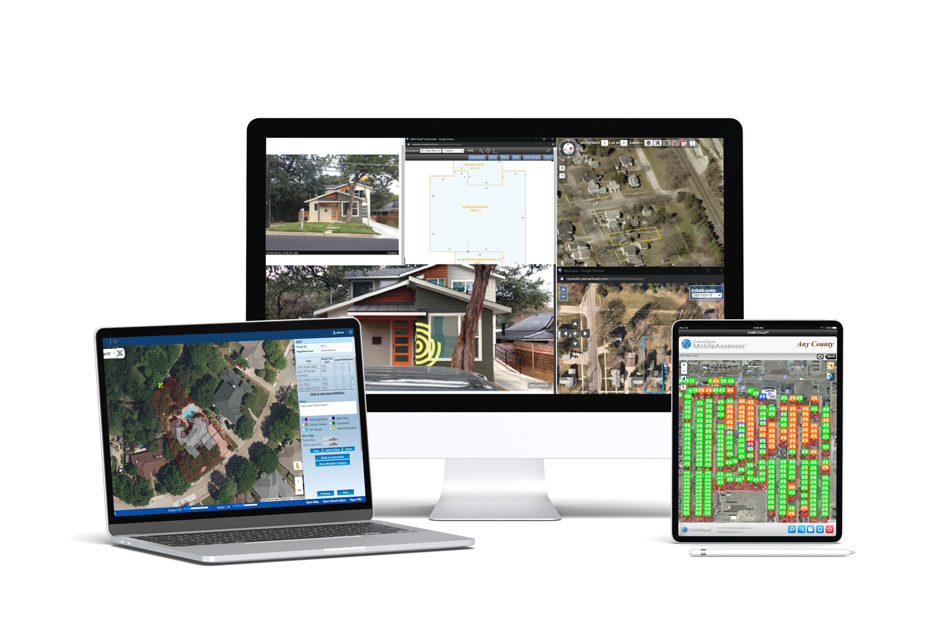
CAMACloud®
Meet CAMACloud®, a comprehensive suite of appraisal technologies designed to integrate with your CAMA system. Led by our flagship module, MobileAssessor, and its history of industry success and deep capital backing, CAMACloud empowers agencies to conduct mass appraisals more efficiently than ever before. Unlike other products on the market, CAMACloud is configurable and open-sourced, offering real-time synchronization that streamlines field and office tasks, from collecting property data to verifying, analyzing and improving it. CAMACloud’s unique ability to integrate with virtually any CAMA system, as well as other geospatial technologies and data, creates limitless opportunities for increased productivity.
CAMACloud by the Numbers*
*First-year users
50%
Less time needed for field assessments
$3.00
Average savings per parcel
100%
More capacity for annual appraisals without additional staff
Features
Full integration with your CAMA system
Instant photo association
Integration with geospatial providers
Productivity dashboards and reports
Touchscreen sketching