Advanced Maps
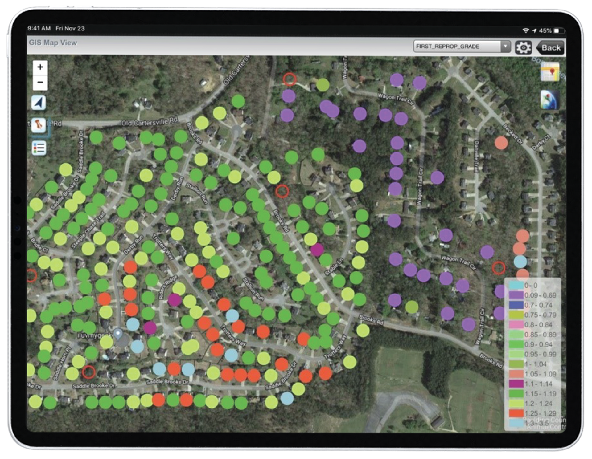
Advanced Maps is an optional configuration offering a variety of GIS integrations with third-party providers. With on-the-fly, thematic parcel shading based on database attributes, Advanced Maps simplifies data consistency and accuracy checks.
Advanced Maps offers the following features:
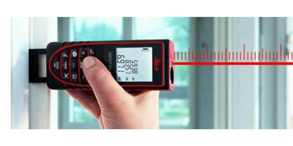
Disto Laser Sketching
Disto Laser Sketching helps users “get around” physical obstacles such as privacy fences, rough terrain, aggressive pets or agricultural/restricted-access properties. It’s also great for large commercial properties. Simply stand perpendicular to the wall requiring measurement, snap a photo and measure within the image. Other included tools do not require direct access to or parallel line-of-sight of the wall. All measurements can be sent directly to MobileAssessor, sketched and synced with your CAMA system and other CAMACloud modules.
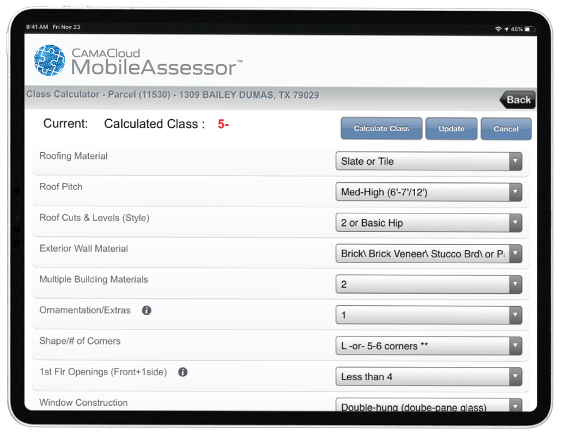
Grade Calculator
Remove the guesswork from setting grades with a solution that is configured and calibrated to match your existing grade and quality options. With Grade Calculator, users simply select from a drop-down menu to mitigate human subjectivity from setting classes, grades and quality. Grade Calculator uses objective data obtained from component questions to assign grades in an accurate, consistent and explainable manner.