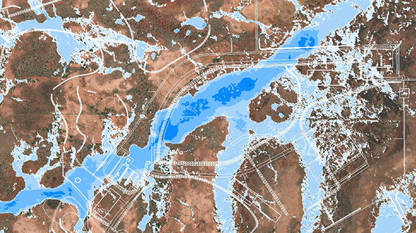
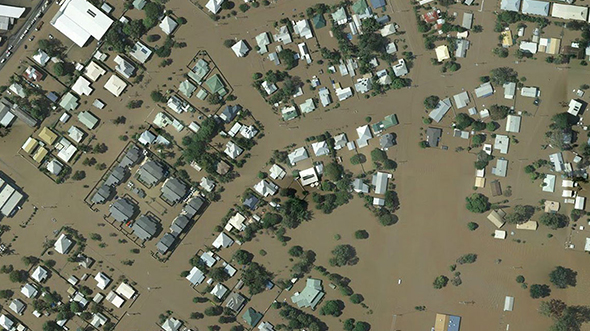
Aerial Mapping Enables Management of South Australian Floodplains Background Southfront is a civil engineering company specialising … Read More
Global Expertise with a Local Feel
ARTICLE — Global Expertise with a Local FeelWoolpert was featured in the June 2025 issue … Read More
Navigating Growth with GIS
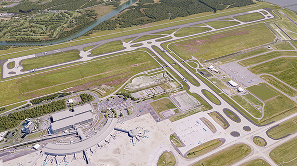
Navigating Growth with GIS Background Brisbane Airport is Queensland’s major aviation gateway, connecting the state to … Read More
3D Models Activate Prestigious Community Hub
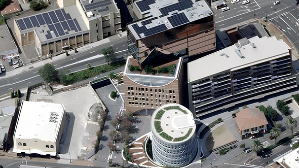
3D Models Activate Prestigious Community Hub Background Yellamundie Library at Liverpool Civic Place is a contemporary … Read More
3D Models Supporting Innovative School Design
3D Models Supporting Innovative School Design Background Darlington Public School, on Gadigal Country near Sydney, underwent … Read More
Moving Forward Together: The Emergence of the Interconnected Geospatial Ecosystem
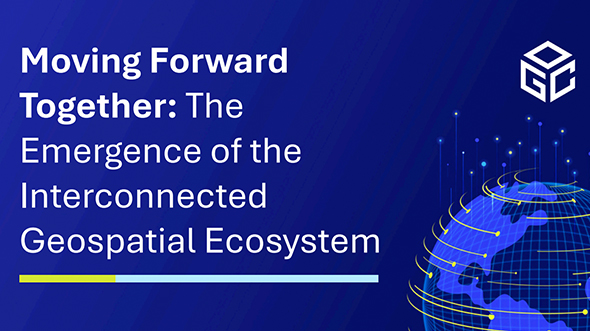
WHITE PAPER — Moving Forward Together: The Emergence of the Interconnected Geospatial EcosystemBy: Mohammed Yahya … Read More
Woolpert Welcomes Head of Strategic Growth, Asia-Pacific Susie Henderson

PRESS RELEASE — Woolpert Welcomes Head of Strategic Growth, Asia-Pacific Susie HendersonThe accomplished global business … Read More
Geospatial Data Transforms the former Victorian Heritage Building
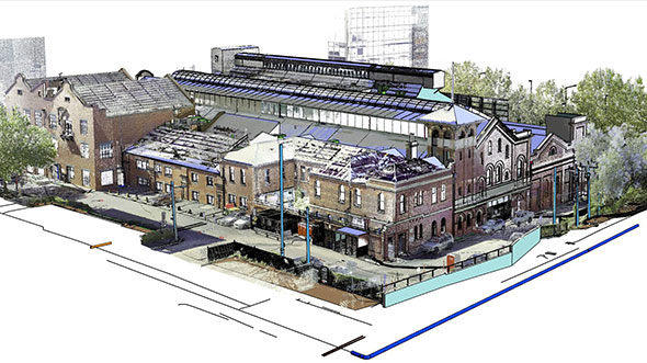
Geospatial Data Transforms the former Victorian Heritage Building Background The former Richmond Power Station stands as one of … Read More
Aerial Survey to Land New Australian Gateway
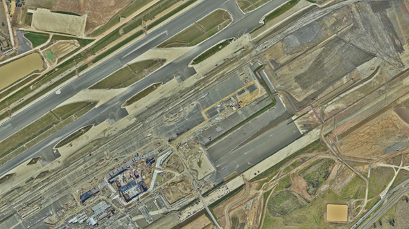
Aerial Survey to Land New Australian Gateway Background Set to open in late 2026, the Western Sydney … Read More
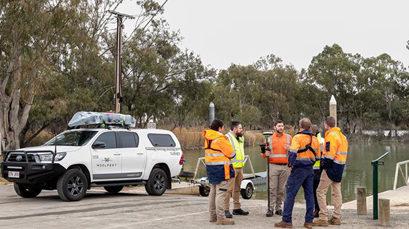
Bundaberg Flood Gauge Mapping
Bundaberg Flood Gauge Mapping Overview Following numerous Queensland flood events, Bundaberg Regional Council (BRC) was forced … Read More
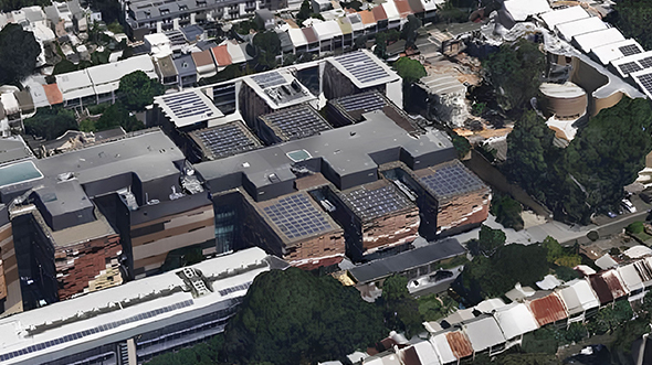
Terrestrial Laser Scanning for the University of Melbourne

Terrestrial Laser Scanning for the University of Melbourne Overview The University of Melbourne undertook redevelopment … Read More
Singapore Smart City

Singapore Smart City In 2014, the Prime Minister’s Office of Singapore unveiled Virtual Singapore, a … Read More
Cross Hybrid Survey Solution for Mining
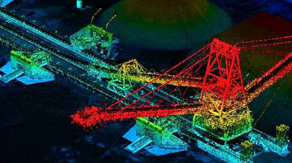
Cross Hybrid Survey Solution for Mining Background Woolpert is commissioned to complete recurring survey work … Read More
Captains Mountain Wind Farm Lidar and Image Survey

Captains Mountain Wind Farm Lidar and Image Survey Background Woolpert was commissioned to acquire and … Read More
Bathymetric Lidar for Waterway Management
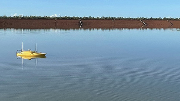
Bathymetric Lidar for Waterway Management Woolpert was commissioned to survey for a project that involved … Read More
- Page 1 of 2
- 1
- 2