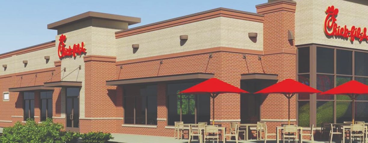
…a mall in suburban Atlanta in 1967. Since then, Chick-Fil-A has steadily grown to become the largest quick-service chicken restaurant chain in the United States, with over 1,850 locations in…
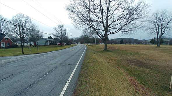
Myrtle/Morehead Storm Water Drainage Improvement
…drainage system’s hydraulic capacity and condition while developing a cost-effective improvement plan for the highly urbanized area. A detailed hydraulic model was developed for both the existing system and for…
Little Hunting Creek Watershed Management Plan

…conditions. Upon collecting such data, Woolpert developed non-structural and structural watershed management alternatives to mitigate problems caused by urbanization of the surrounding area. These solutions will be monitored to evaluate…
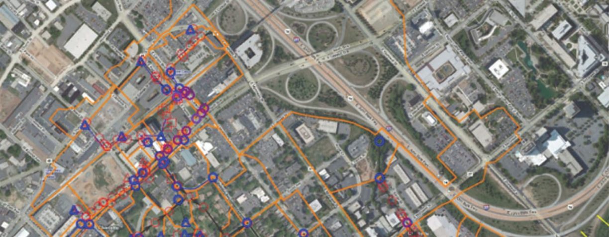
Charlotte South Corridor Light Rail Transit System Infrastructure Program
…system. Woolpert used our expertise in base mapping and GIS integration to compile the data for the seven transit areas for engineering and urban design analysis. Woolpert participated in design…
Skyline Garage

…spaces to the urban core. With proximity to the Harrison Street Corridor that connects the Fort Wayne Riverfront, Grand Wayne Convention Center and Harrison Square (America’s number-one-rated MLB park for…
Planning
…Capabilities College and university planning Community and urban design Design review and approval proceedings Land use planning Military planning Municipal master planning Site selection and feasibility Site analysis, land use…
Wastewater
…consultation GIS-based decision support Hydraulic modeling Integrated urban water management Large-diameter pipe condition assessment Pump station and force main design Pump station condition assessment and rehabilitation Resilience planning Sanitary sewer…
2020 Esri Partner Conference: Geospatial Infrastructure

BLOG — Share this Post BLOG — 2020 Esri Partner Conference: Geospatial Infrastructure Esri rallied around the combination of ArcGIS core capabilities: ArcGIS Online, Enterprise, Hub, Urban and…
How AR and VR Add Dimension to AEG

…architectural designer with experience in master planning, urbanism, vernacular architecture, computational and parametric design, energy modeling, and 3D rendering and animation. Share this Post Related Resources What Exactly Does…
Woolpert’s Qassim Abdullah Named to TRB New Users of Shared Airspace Committee

…Standing Committee on New Users of Shared Airspace. The committee focuses on how emerging and growing aviation applications—including commercial space operations, unmanned aircraft systems (UAS) and urban air mobility (UAM)—can…
2020: The Year Woolpert’s UAS Services Truly Took Off
…advance urban air mobility and unmanned traffic management, while working to ensure our UAS capabilities soar to even greater heights. Zachary Shuman Woolpert Aviation Program Director Zachary Shuman leads many…
Woolpert Welcomes GIS Specialist, Photogrammetrist Sam Wolf as Geospatial Project Manager

…geospatial project manager, bringing his passion for delivering urban solutions to real-world challenges. Wolf has worked for the last eight years leading and executing projects with remote sensing technologies on…
Woolpert Acquires Jviation, Expands Aviation and Airport Infrastructure Services

…gain airport planning, engineering and architecture bench strength, in addition to innovative geospatial resources and expertise that include aerial and mobile lidar, subsurface utility engineering, unmanned aircraft systems, urban air…
Woolpert Establishes UAS Hub, Adds Office at Aviation Research Park in New Jersey
…hub in the National Aviation Research and Technology Park in Egg Harbor Township, N.J. The space will support Woolpert’s full suite of UAS and urban air mobility personnel, technology and…
Woolpert Contracted to Provide Survey, Design for Multiuse Trail at OSU Newark
…County Area Transportation Study (LCATS), which plans, programs and secures funds to develop an efficient transportation system for the Newark urbanized area. It also is in line with the county’s…