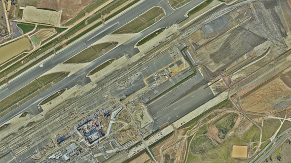
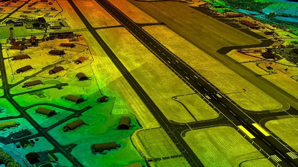
Aerial Survey to Land New Australian Gateway Background Set to open in late 2026, the Western Sydney … Read More
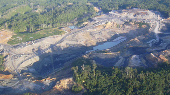
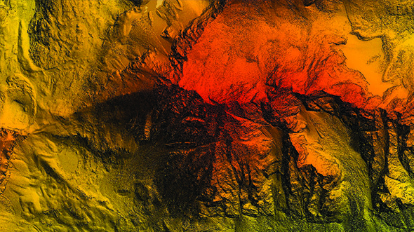
Lidar for Chirano Mine
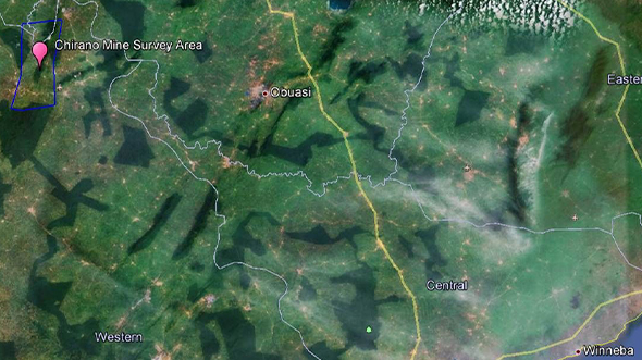
Lidar for Chirano Mine Overview This project involved aerial lidar and ground surveying activity covering … Read More
Mengapur Mine Survey
Mengapur Mine Survey Mine site development requires various layers of spatial data and balancing an … Read More
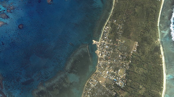
Pacific Island Coastal Inundation Capacity and Planning

Pacific Island Coastal Inundation Capacity and Planning Woolpert Asia-Pacific received the highly coveted J.K. Barrie Award … Read More
Cross Hybrid Survey Solution for Mining
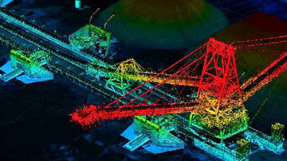
Cross Hybrid Survey Solution for Mining Background Woolpert is commissioned to complete recurring survey work … Read More
Captains Mountain Wind Farm Lidar and Image Survey
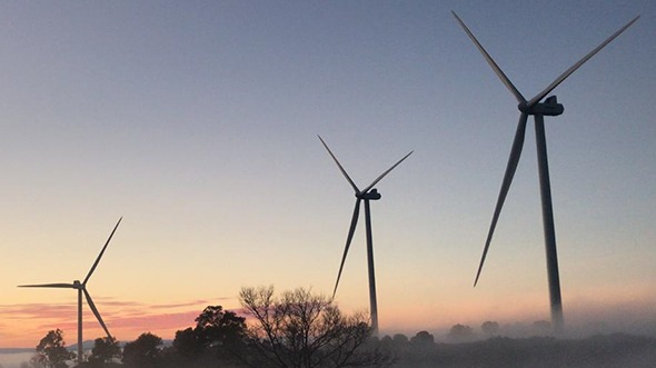
Captains Mountain Wind Farm Lidar and Image Survey Background Woolpert was commissioned to acquire and … Read More
Bathymetric Lidar for Waterway Management
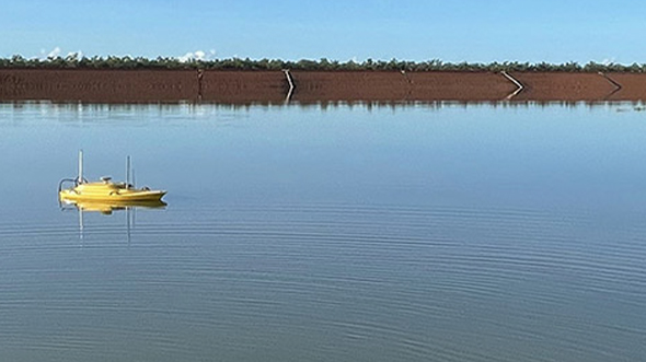
Bathymetric Lidar for Waterway Management Woolpert was commissioned to survey for a project that involved … Read More
AFSOC ACC Installation Aerial Imagery and Lidar Data Collection (Phase III)
AFSOC ACC Installation Aerial Imagery and Lidar Data Collection (Phase III)Print Friendly VersionPurpose In FY … Read More
Singapore Airborne Lidar and Orthoimagery Data Collections, DEM and Planimetric Feature Generation
Singapore Airborne Lidar and Orthoimagery Data Collections, DEM and Planimetric Feature GenerationPrint Friendly VersionBackground The … Read More
JALBTCX Program
JALBTCX ProgramPrint Friendly VersionBackground The Joint Airborne Lidar Bathymetry Technical Center of Expertise (JALBTCX) and … Read More
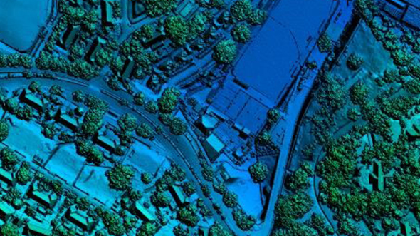
Lake Erie Watershed Base Mapping

Lake Erie Watershed Base Mapping Woolpert was contracted to acquire new aerial imagery and lidar … Read More
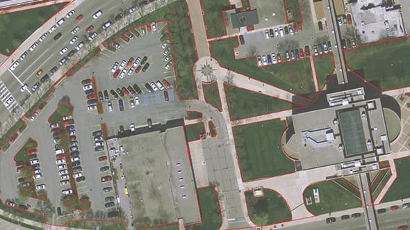
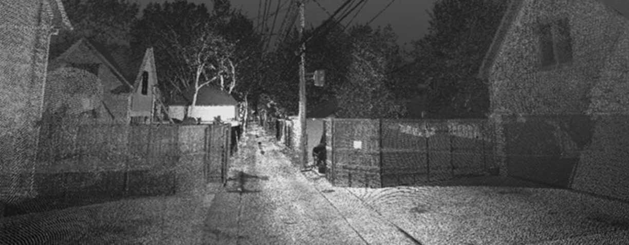
Haul Route Mapping, Evaluation and Design
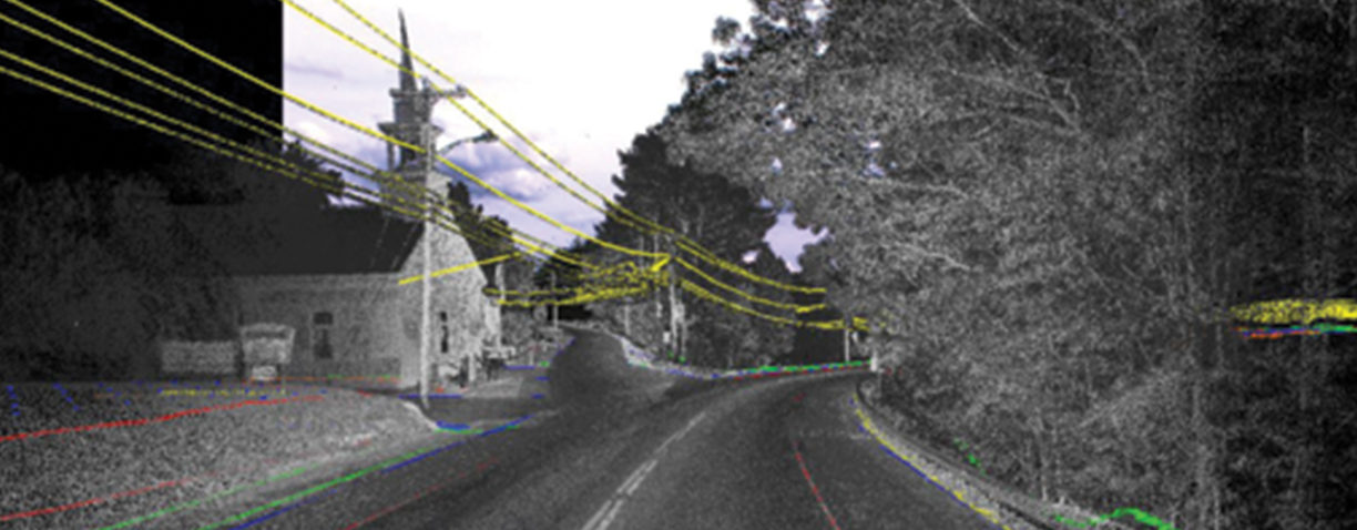
Haul Route Mapping, Evaluation and Design Woolpert was selected to provide mobile mapping system (MMS) … Read More
Grand Teton National Park and National Elk Refuge-Lidar Acquisition
Grand Teton National Park and National Elk Refuge Lidar Acquisition During the summer of 2014, … Read More